

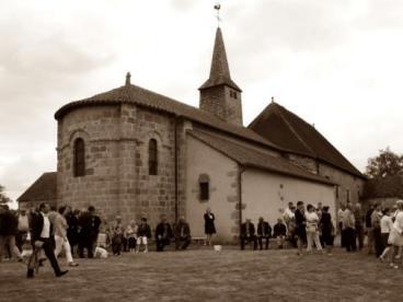
Auge : à la croisée des chemins
Walking, Cultural
in Auge
3.7
km
Loop
on foot
1h
Very easy
- Departure
- Auge
-
-
Difference in height
- 58.6667 m
-
-
-
Documentation
- GPX / KML files allow you to export the trail of your hike to your GPS (or other navigation tool)
-
- 59 meters of difference in height
-
- Maximum altitude : 449 m
- Minimum altitude : 403 m
- Total positive elevation : 59 m
- Total negative elevation : -52 m
- Max positive elevation : 40 m
- Min positive elevation : -39 m