

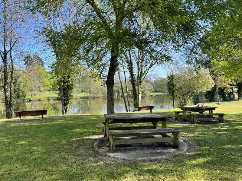
Bétête et son étang
Walking, Cultural
in Bétête
1.8
km
Loop
on foot
Very easy
- Departure
- Bétête
-
-
Difference in height
- 11.6667 m
-
-
-
Documentation
- GPX / KML files allow you to export the trail of your hike to your GPS (or other navigation tool)
-
- 12 meters of difference in height
-
- Maximum altitude : 388 m
- Minimum altitude : 374 m
- Total positive elevation : 12 m
- Total negative elevation : -13 m
- Max positive elevation : 2 m
- Min positive elevation : -12 m