

Boucle vélo N°44 - au fil de l'eau
Cycling, Natural
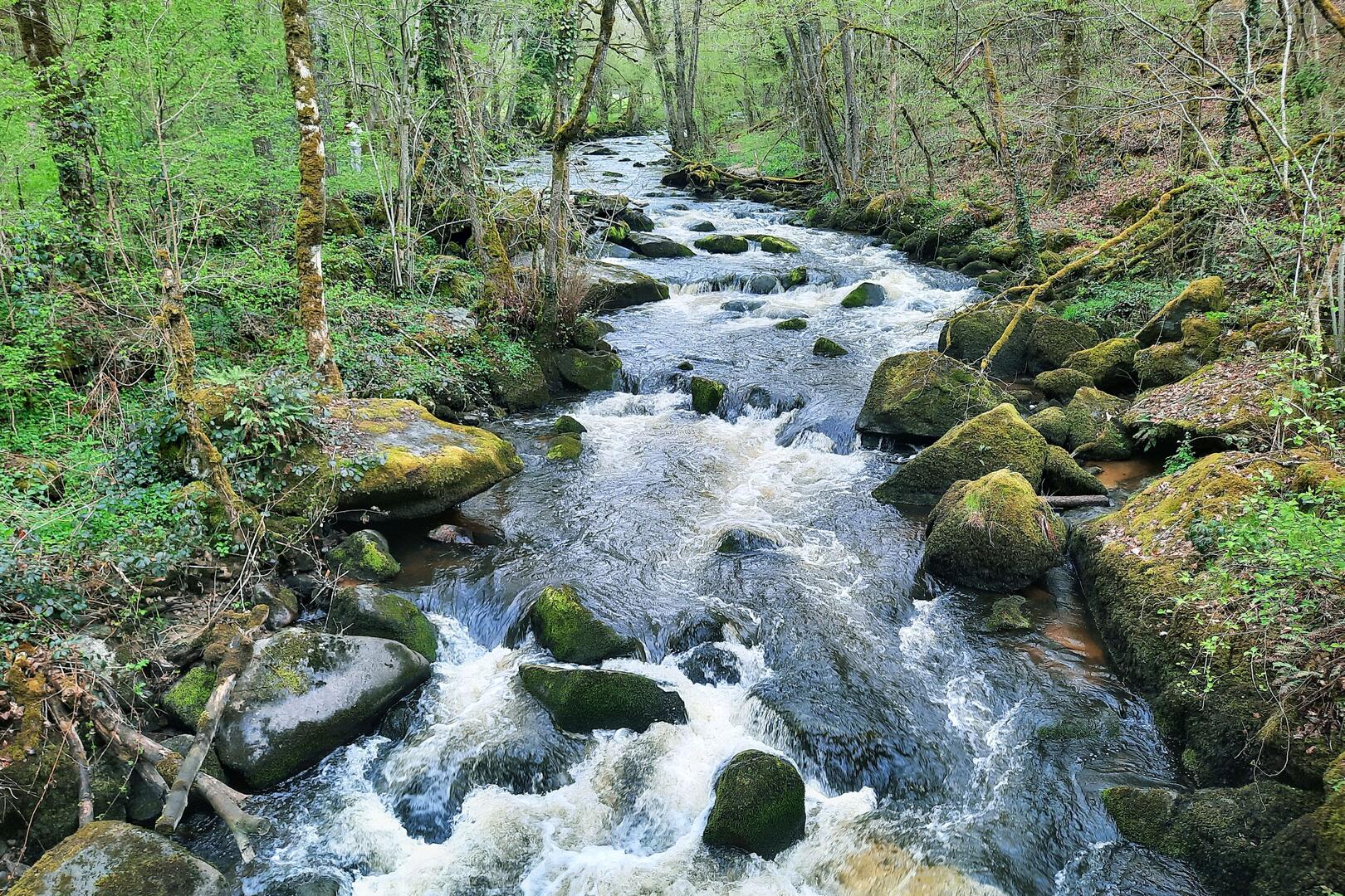
in Felletin
30.2
km
Loop
by bike
2h 30min
Hard
- Departure
- Felletin
-
-
Difference in height
- 571.659 m
-
-
-
Documentation
- GPX / KML files allow you to export the trail of your hike to your GPS (or other navigation tool)
-
- 572 meters of difference in height
-
- Maximum altitude : 714 m
- Minimum altitude : 449 m
- Total positive elevation : 572 m
- Total negative elevation : -572 m
- Max positive elevation : 109 m
- Min positive elevation : -112 m