

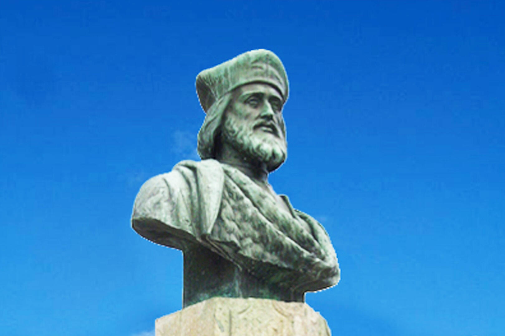
Boucle vélo N°49 - Sur les traces de Pierre d’Aubusson
Cycling, Historical
in Vallière
29.1
km
Loop
by bike
2h 50min
Medium
- Departure
- Vallière
-
-
Difference in height
- 477.333 m
-
-
-
Documentation
- GPX / KML files allow you to export the trail of your hike to your GPS (or other navigation tool)
-
- 477 meters of difference in height
-
- Maximum altitude : 663 m
- Minimum altitude : 482 m
- Total positive elevation : 477 m
- Total negative elevation : -486 m
- Max positive elevation : 48 m
- Min positive elevation : -81 m