

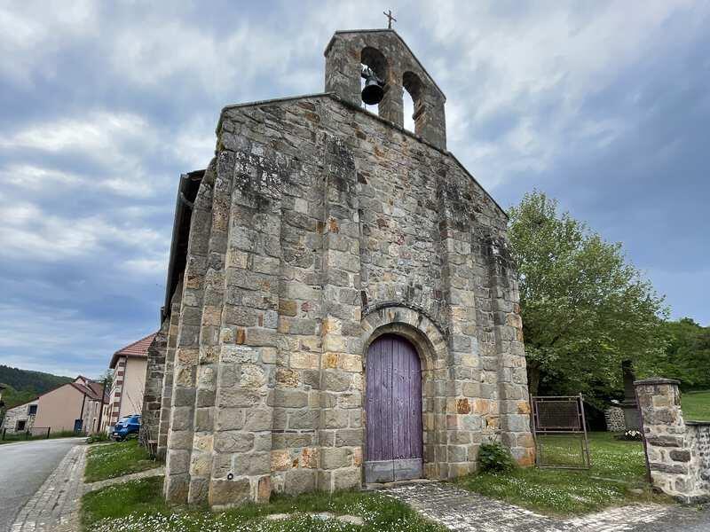
Chambonchard : sauvé des eaux
Walking, Cultural
in Chambonchard
0.9
km
Loop
on foot
Easy
- Departure
- Chambonchard
-
-
Difference in height
- 1 m
-
-
-
Documentation
- GPX / KML files allow you to export the trail of your hike to your GPS (or other navigation tool)
-
- 1 meters of difference in height
-
- Maximum altitude : 336 m
- Minimum altitude : 318 m
- Total positive elevation : 1 m
- Total negative elevation : -1 m
- Max positive elevation : 1 m
- Min positive elevation : -1 m