

Circuit Cyclosport N°3 - LE THEIL
Cycling, Cultural
in Mainsat
22.7
km
Loop
by bike
2h 30min
Medium
-
This 23 km route from Mainsat is an easy way to discover the FFC Cyclosport area in East Creuse.
From Les Portes, head towards Mainsat, then turn right towards Bussière-Nouvelle through the Bois de la Forêt.
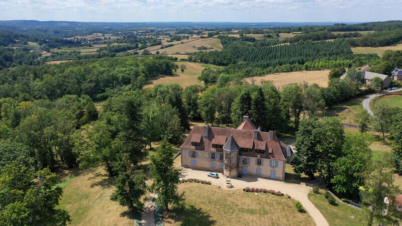
Continue on the D27 to Le Theil, then take the D25. Once you have passed the village of Sermur, turn right towards Coudeleix to join the D988 on the right. After 1.5 km, turn left and enter Château des Portes via Chagot.
- Departure
- Mainsat
-
-
Difference in height
- 337.639 m
-
-
-
Documentation
- GPX / KML files allow you to export the trail of your hike to your GPS (or other navigation tool)
-
- 338 meters of difference in height
-
- Maximum altitude : 695 m
- Minimum altitude : 566 m
- Total positive elevation : 338 m
- Total negative elevation : -338 m
- Max positive elevation : 80 m
- Min positive elevation : -80 m