

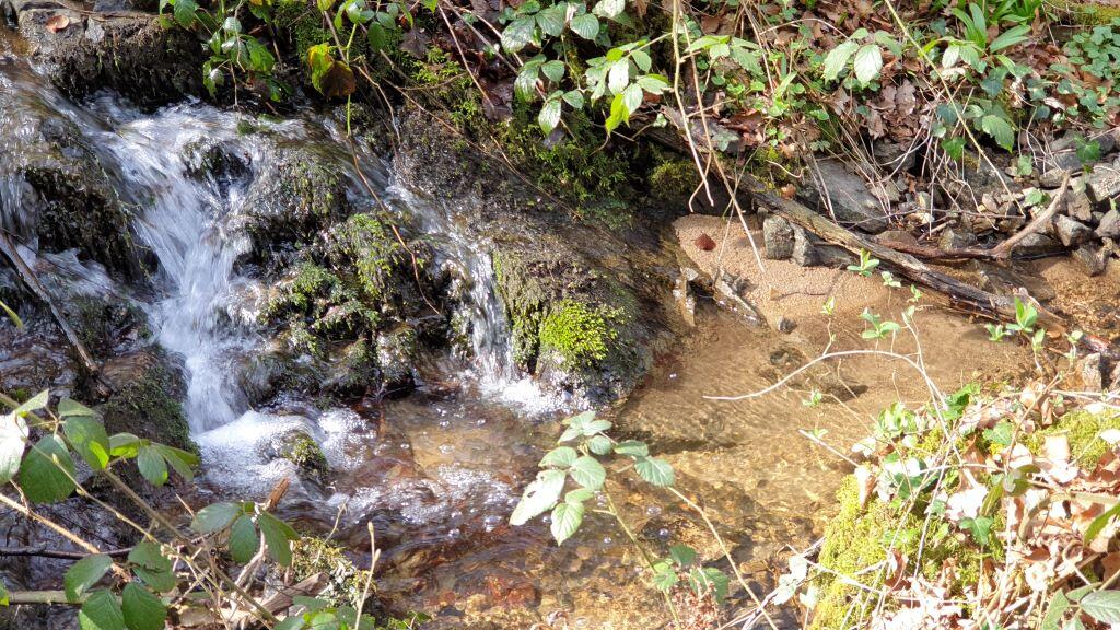
Circuit de Budelière
Mountain bike, Natural
in Budelière
26.3
km
Loop
by mountain bike
2h 30min
Easy
- Departure
- Budelière
-
-
Difference in height
- 280.333 m
-
-
-
Documentation
- GPX / KML files allow you to export the trail of your hike to your GPS (or other navigation tool)
-
- 280 meters of difference in height
-
- Maximum altitude : 453 m
- Minimum altitude : 373 m
- Total positive elevation : 280 m
- Total negative elevation : -280 m
- Max positive elevation : 34 m
- Min positive elevation : -46 m