

Circuit de Fifine la Fouine
Walking, Natural
in Sermur
-
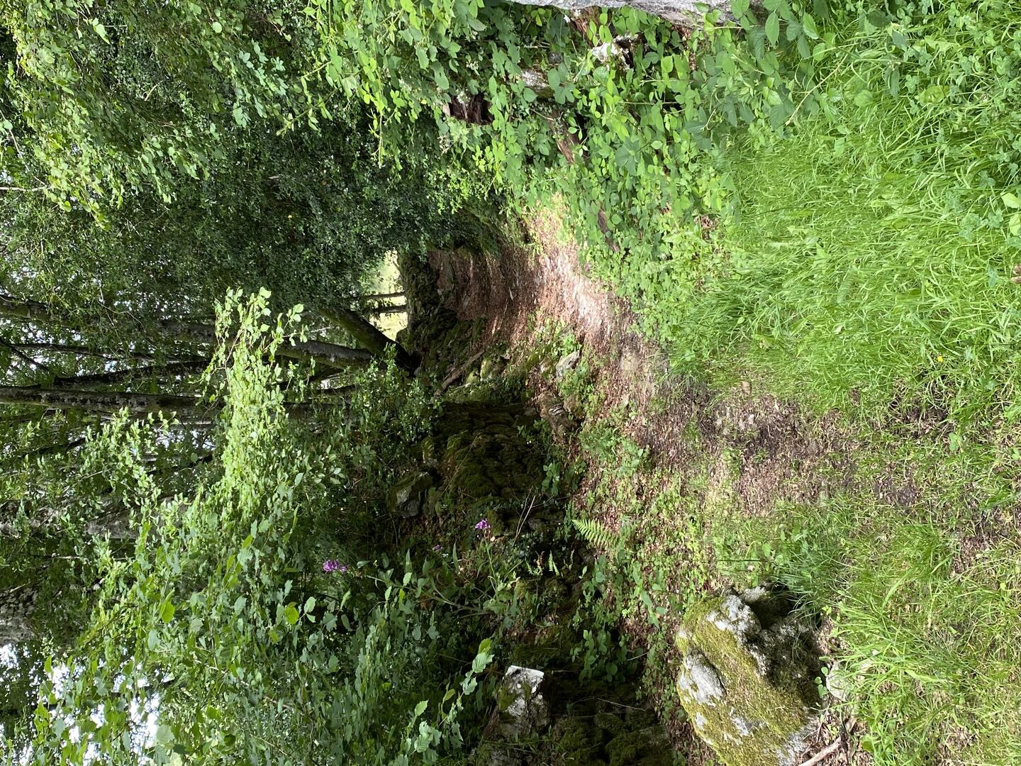
Play detective with Fifine la fouine and discover the heritage of Sermur...
Download the tour and discover the step by step the itinerary and riddles of this small stone village in South Creuse.
- Departure
- Sermur
-
-
Difference in height
- 64.5049 m
-
-
-
-
-
Documentation
- GPX / KML files allow you to export the trail of your hike to your GPS (or other navigation tool)
-

-
-
Accepted customers
-
- 65 meters of difference in height
-
- Maximum altitude : 729 m
- Minimum altitude : 674 m
- Total positive elevation : 65 m
- Total negative elevation : -65 m
- Max positive elevation : 44 m
- Min positive elevation : -28 m