

Circuit de randonnée : Circuit du Bois de Drouille
Walking, Natural
in Charron
5.7
km
Loop
on foot
2h
Easy
-
Start : Courdemanges
Marking : Yellow
1. Head for Dontreix, turn right at the 1st crossroads, then take the 1st path on the right.
2. When you reach the road, turn right towards Courdemanges.
3. At the 1st crossroads, turn right through the village to the well, turn left and then immediately right.
4.Before reaching Valette, turn right towards the Drouille forest.
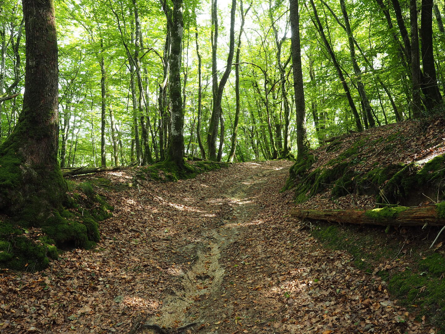
5.Continue straight ahead through the woods until you come to a path on the right which leads to the forest track.
6.Follow the...Start : Courdemanges
Marking : Yellow
1. Head for Dontreix, turn right at the 1st crossroads, then take the 1st path on the right.
2. When you reach the road, turn right towards Courdemanges.
3. At the 1st crossroads, turn right through the village to the well, turn left and then immediately right.
4.Before reaching Valette, turn right towards the Drouille forest.
5.Continue straight ahead through the woods until you come to a path on the right which leads to the forest track.
6.Follow the track to the right to reach the starting point.
- Departure
- Charron
-
-
Difference in height
- 101 m
-
-
-
Documentation
- GPX / KML files allow you to export the trail of your hike to your GPS (or other navigation tool)
-
- 101 meters of difference in height
-
- Maximum altitude : 718 m
- Minimum altitude : 631 m
- Total positive elevation : 101 m
- Total negative elevation : -101 m
- Max positive elevation : 75 m
- Min positive elevation : -36 m