

Circuit de randonnée : Le Rau de la Noisette
Walking, Mountain bike, Natural
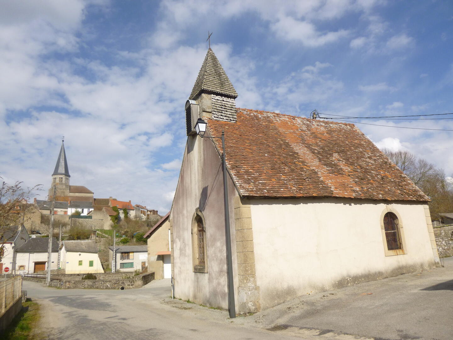
in Auzances
26.9
km
Loop
on foot
7h
Hard
- Departure
- Auzances
-
-
Difference in height
- 494.224 m
-
-
-
-
-
Documentation
- GPX / KML files allow you to export the trail of your hike to your GPS (or other navigation tool)
-

- 494 meters of difference in height
-
- Maximum altitude : 744 m
- Minimum altitude : 537 m
- Total positive elevation : 494 m
- Total negative elevation : -494 m
- Max positive elevation : 84 m
- Min positive elevation : -119 m