

Circuit du verger à la fontaine
Walking, Cultural
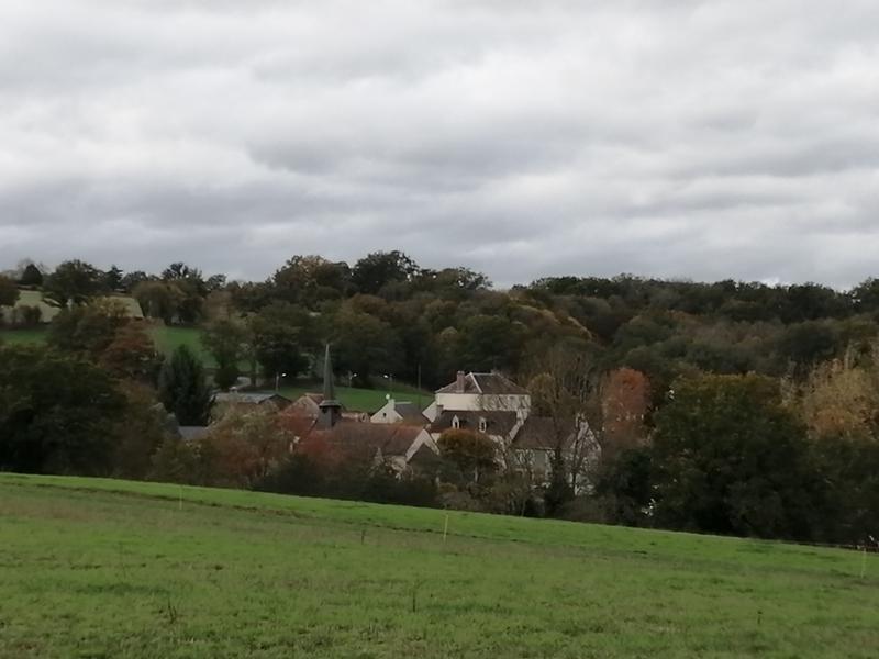
in Malleret-Boussac
3.2
km
Loop
on foot
1h
Easy
- Departure
- Malleret-Boussac
-
-
Difference in height
- 52.901 m
-
-
-
Documentation
- GPX / KML files allow you to export the trail of your hike to your GPS (or other navigation tool)
-
- 53 meters of difference in height
-
- Maximum altitude : 348 m
- Minimum altitude : 306 m
- Total positive elevation : 53 m
- Total negative elevation : -54 m
- Max positive elevation : 39 m
- Min positive elevation : -29 m