

Circuit pédestre : Les Sources
Walking
in Méasnes
13.9
km
Loop
on foot
3h 30min
Medium
-
At an altitude of 370m, the village offers magnificent panoramic views of the Monts de la Marche, in particular the Puy des Trois Cornes, and the heights of St Vaury and Maupuy near Guéret.
The commune's main economic activity is agriculture, generally based on the breeding of Limousin and Charolais cows. Its proximity to the Bourg d'Augurante means it benefits from all the services and shops of its Berrichonne neighbor.
The area has a rich architectural heritage, with several castles,...At an altitude of 370m, the village offers magnificent panoramic views of the Monts de la Marche, in particular the Puy des Trois Cornes, and the heights of St Vaury and Maupuy near Guéret.
The commune's main economic activity is agriculture, generally based on the breeding of Limousin and Charolais cows. Its proximity to the Bourg d'Augurante means it benefits from all the services and shops of its Berrichonne neighbor.
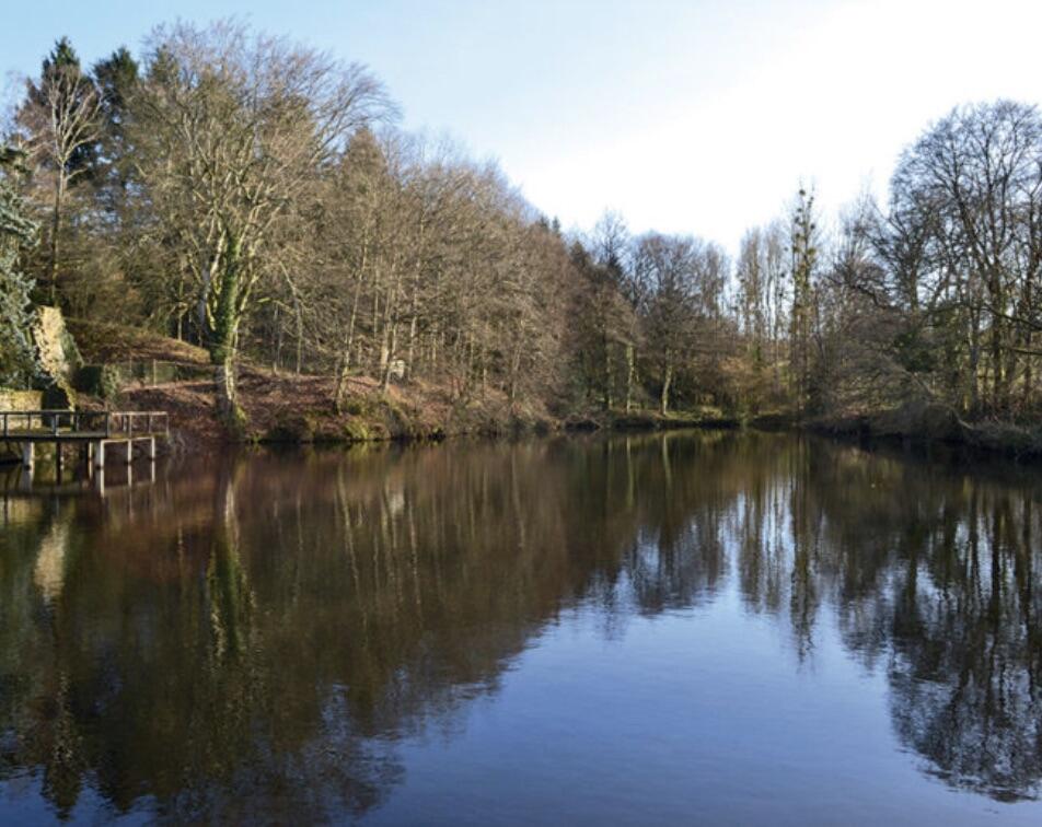
The area has a rich architectural heritage, with several castles, fortified houses and manor houses bearing witness to a very interesting historical past. Numerous ponds and streams are a reminder of the proximity of the sources of small rivers (Gargilesse and Bouzanne) feeding the Loire basin. The omnipresent granite in the buildings bears witness to the skills of the extraordinary builders of the Creuse region
- Departure
- Méasnes
-
-
Difference in height
- 237.667 m
-
-
-
Documentation
- GPX / KML files allow you to export the trail of your hike to your GPS (or other navigation tool)
-
- 238 meters of difference in height
-
- Maximum altitude : 420 m
- Minimum altitude : 331 m
- Total positive elevation : 238 m
- Total negative elevation : -238 m
- Max positive elevation : 65 m
- Min positive elevation : -64 m