

Circuit Pédestre N°5 Le moulin de Malval
Walking
in Linard
5.8
km
Loop
on foot
2h
Easy
-
Distance : 6 km Duration : 2h Level : Easy
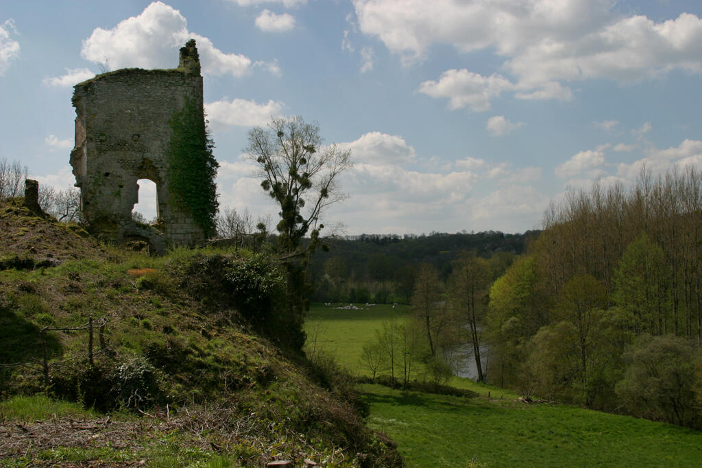
From river to stream, from village to castle remains, from church to mill... : different landscapes of water and stone punctuate this walk in the heart of the Petite Creuse valley.
- 118 meters of difference in height
-
- Maximum altitude : 351 m
- Minimum altitude : 255 m
- Total positive elevation : 118 m
- Total negative elevation : -118 m
- Max positive elevation : 64 m
- Min positive elevation : -95 m