

Circuit pédestre n° B3 Le Bois de l'Age
Walking, Natural
in Bénévent-l'Abbaye
5.9
km
Loop
on foot
2h
Easy
-
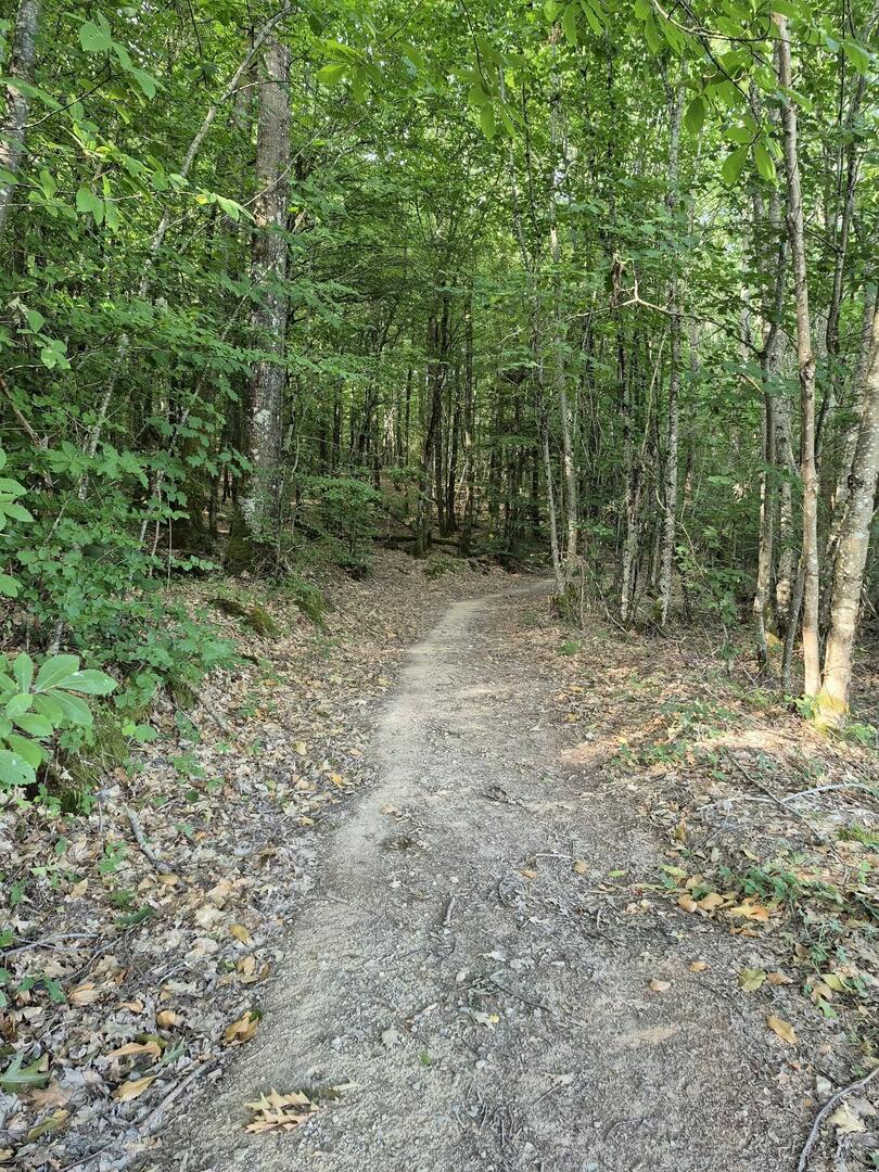
From the Tourist Office, go past the town hall, towards Marsac, to turn right into the rue d'Herse. At the second crossroads, turn left towards Marsac. At the stop sign, follow the direction of Saint Goussaud (D62). 700m further on, follow the path on the right and cross the forest of l'Age. At the end of the forest, follow the road to the right to join the D914. Go up on the right to turn left after 100m (direction La Chaise). Follow the track and at the top of a steep slope, turn right to...
From the Tourist Office, go past the town hall, towards Marsac, to turn right into the rue d'Herse. At the second crossroads, turn left towards Marsac. At the stop sign, follow the direction of Saint Goussaud (D62). 700m further on, follow the path on the right and cross the forest of l'Age. At the end of the forest, follow the road to the right to join the D914. Go up on the right to turn left after 100m (direction La Chaise). Follow the track and at the top of a steep slope, turn right to return to Bénévent.
- Departure
- Bénévent-l'Abbaye
-
-
Difference in height
- 140 m
-
-
-
Documentation
- GPX / KML files allow you to export the trail of your hike to your GPS (or other navigation tool)
-
- 140 meters of difference in height
-
- Maximum altitude : 495 m
- Minimum altitude : 408 m
- Total positive elevation : 140 m
- Total negative elevation : -137 m
- Max positive elevation : 83 m
- Min positive elevation : -42 m