

Circuit pédestre n° CM10 Lac et Monts de Chauverne
Walking, Natural
in Châtelus-le-Marcheix
14.7
km
Loop
on foot
5h
Medium
-
Start from Châtelus beach. Cross the bridge to take the road to the left, then immediately the path which climbs to the right (GR4), 50m further up to the left, then to the right.
Go through the village of Monsergue towards Manerbe and follow the road to the end of the village, then take the forest track which continues to Mastonin. From here, take the small path on the right, at the corner of a house.
Follow the Etang des Egaux to the right, then turn left after 150m at a wood storage area....Start from Châtelus beach. Cross the bridge to take the road to the left, then immediately the path which climbs to the right (GR4), 50m further up to the left, then to the right.
Go through the village of Monsergue towards Manerbe and follow the road to the end of the village, then take the forest track which continues to Mastonin. From here, take the small path on the right, at the corner of a house.
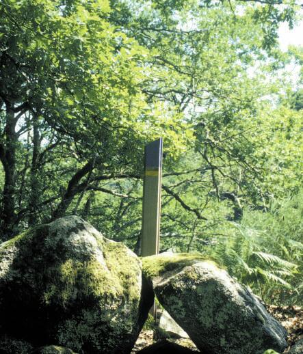
Follow the Etang des Egaux to the right, then turn left after 150m at a wood storage area. 300m after the resistance stele, turn left to reach the village of Boissieux by road.
In the village, take a small road to the left, which becomes a footpath, until you reach the intersection of three roads. Go straight ahead on the right-hand track.
Follow the GR4 up to the left.
- Departure
- Châtelus-le-Marcheix
-
-
Difference in height
- 475.327 m
-
-
-
Documentation
- GPX / KML files allow you to export the trail of your hike to your GPS (or other navigation tool)
-
- 475 meters of difference in height
-
- Maximum altitude : 625 m
- Minimum altitude : 375 m
- Total positive elevation : 475 m
- Total negative elevation : -475 m
- Max positive elevation : 227 m
- Min positive elevation : -202 m