

Circuit pédestre n° CM8 Les Voies Antiques
Walking, Natural
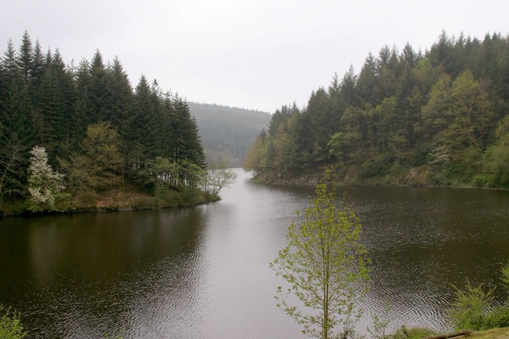
in Châtelus-le-Marcheix
19.2
km
Loop
on foot
6h 30min
Medium
-
Please note that this route can be split in two.
At km 5, go up to La Chateneide, then take the SG4 to Saint Goussaud.
From the Auberge de Châtelus, go up to the Mairie (route de Bénévent) to follow the path under the road, then cross the D5. Take the track on the left. After 300m, turn left up to a crossroads. Follow the track opposite, which becomes a forest track and crosses the D48. Follow a small road to the right and after 200m, after a bend to the left, go straight ahead on a track....Please note that this route can be split in two.
At km 5, go up to La Chateneide, then take the SG4 to Saint Goussaud.
From the Auberge de Châtelus, go up to the Mairie (route de Bénévent) to follow the path under the road, then cross the D5. Take the track on the left. After 300m, turn left up to a crossroads. Follow the track opposite, which becomes a forest track and crosses the D48. Follow a small road to the right and after 200m, after a bend to the left, go straight ahead on a track. Cross a stream and turn left up a forest track. Keep straight on for 1km, until you reach three tracks. CM8 goes off to the left, and the path on the right is the shortcut to Chateneide and then Saint Goussaud via route SG4.
- Departure
- Châtelus-le-Marcheix
-
-
Difference in height
- 542.636 m
-
-
-
-
-
Documentation
- GPX / KML files allow you to export the trail of your hike to your GPS (or other navigation tool)
-

- 543 meters of difference in height
-
- Maximum altitude : 687 m
- Minimum altitude : 384 m
- Total positive elevation : 543 m
- Total negative elevation : -543 m
- Max positive elevation : 152 m
- Min positive elevation : -191 m