

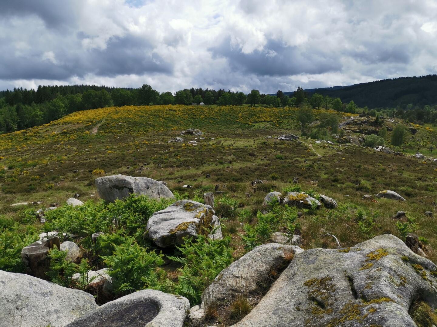
Circuit "Rivières et Cascades" - Sud Creuse
Cycling, Natural
in Saint-Pardoux-Morterolles
51.0
km
Loop
by bike
7h
Hard
- Departure
- Saint-Pardoux-Morterolles
-
-
Difference in height
- 1037 m
-
-
-
Documentation
- GPX / KML files allow you to export the trail of your hike to your GPS (or other navigation tool)
-
- 1037 meters of difference in height
-
- Maximum altitude : 747 m
- Minimum altitude : 470 m
- Total positive elevation : 1037 m
- Total negative elevation : -1037 m
- Max positive elevation : 136 m
- Min positive elevation : -71 m