 
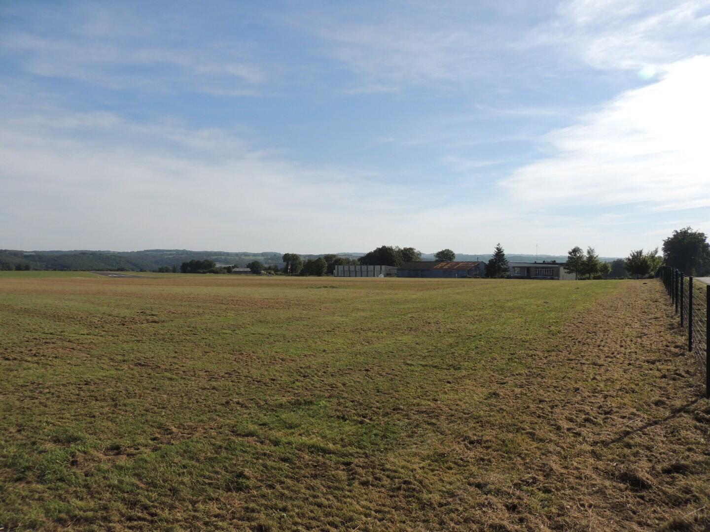
                            Circuit VTT n°11 L'aérodrome


                    Mountain bike                    
                
                                                    in Saint-Laurent
                            
            7.7
                        km
                    
                Loop
                by mountain bike
                1h 
                Very easy
                - Departure
- Saint-Laurent
 
- 
    - 
                                Difference in height
- 78.0003 m
 
- 
                                
- 
    - 
                                Documentation
- GPX / KML files allow you to export the trail of your hike to your GPS (or other navigation tool)
 
- 
                                
- 78 meters of difference in height
- 
                - Maximum altitude : 394 m
- Minimum altitude : 347 m
 - Total positive elevation : 78 m
- Total negative elevation : -78 m
- Max positive elevation : 32 m
- Min positive elevation : -31 m


                        