

Circuit VTT n°25 Le Bois de Sainte Ferre
Mountain bike
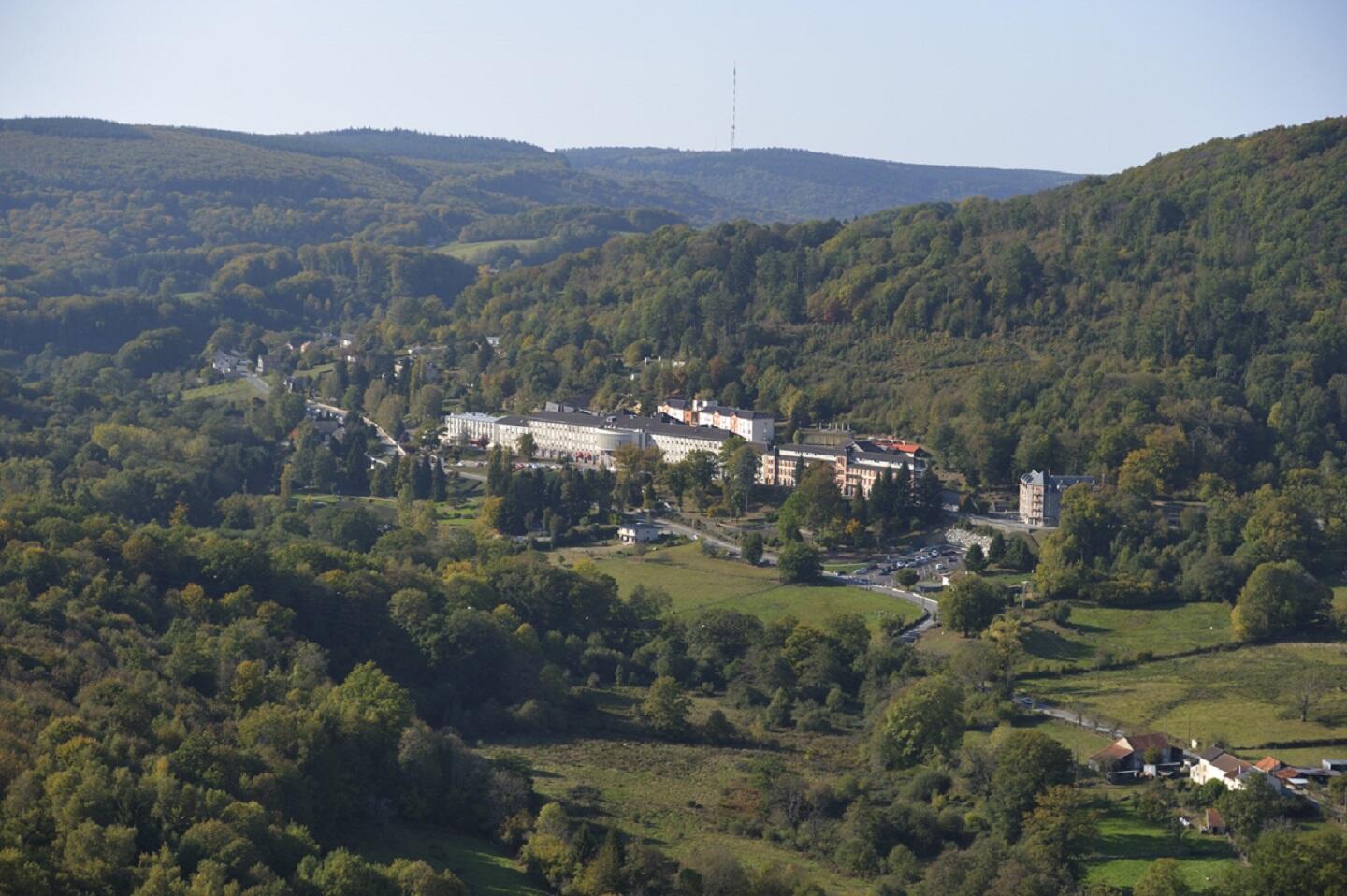
in Sainte-Feyre
15.6
km
Loop
by mountain bike
1h
Hard
- Departure
- Sainte-Feyre
-
-
Difference in height
- 419 m
-
-
-
Documentation
- GPX / KML files allow you to export the trail of your hike to your GPS (or other navigation tool)
-
- 419 meters of difference in height
-
- Maximum altitude : 670 m
- Minimum altitude : 460 m
- Total positive elevation : 419 m
- Total negative elevation : -419 m
- Max positive elevation : 89 m
- Min positive elevation : -108 m