

Circuit VTT n°27
Mountain bike
in Saint-Sulpice-le-Dunois
18.6
km
Loop
by mountain bike
2h
Easy
-
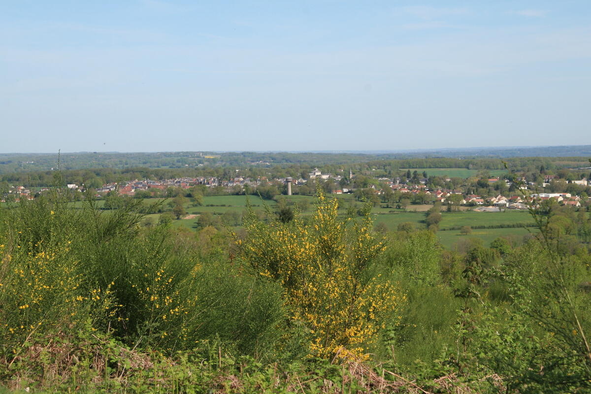
Departure from the Bois de Chabannes parking lot. This is a fast, rolling circuit... Don't forget the typical passage through the Chabannes woods, where you pass the summit. Take care on the descent between Les Ribières and Le Peyrat, and when crossing the D5 twice. There are also two very nice crossings on footbridges over the Got and Brezenty streams.
- Departure
- Saint-Sulpice-le-Dunois
-
-
Difference in height
- 418.333 m
-
-
-
Documentation
- GPX / KML files allow you to export the trail of your hike to your GPS (or other navigation tool)
-
- 418 meters of difference in height
-
- Maximum altitude : 554 m
- Minimum altitude : 327 m
- Total positive elevation : 418 m
- Total negative elevation : -418 m
- Max positive elevation : 87 m
- Min positive elevation : -76 m