

Circuit VTT n°8 Les Coussières
Mountain bike
in Saint-Sulpice-le-Guérétois
32.4
km
Loop
by mountain bike
1h
Hard
-
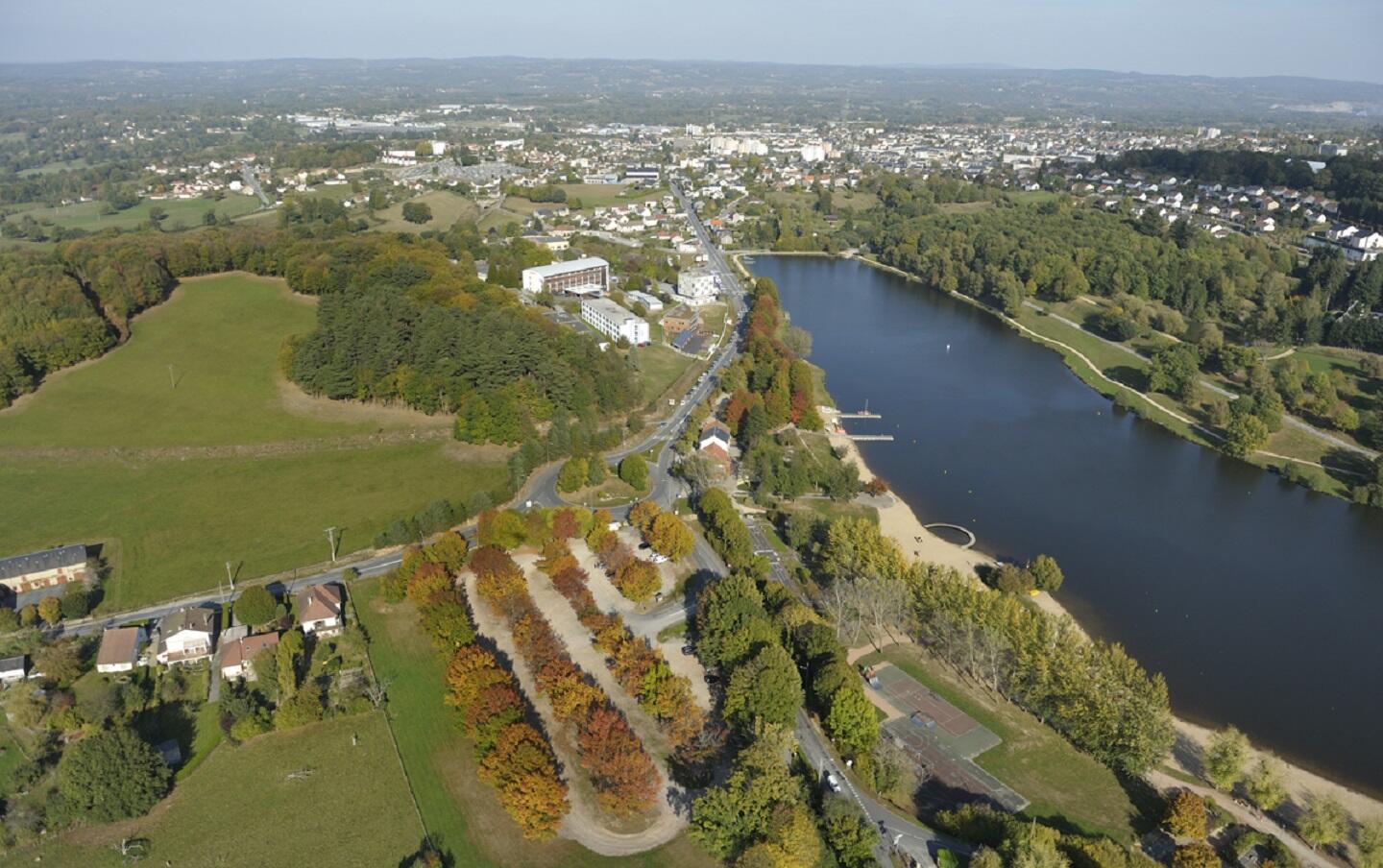
A few kilometers after the start of Saint-Sulpice, a difficult climb takes us to Sous-Faye. The rest of the circuit is easier to reach Guéret and the Courtille leisure centre. We continue then by a regular ascent along the Maupuy river before going back to the north in the direction of the Chardet wood to finally come back to Saint-Sulpice-le-Guérétois by the same way as before.
- Departure
- Saint-Sulpice-le-Guérétois
-
-
Difference in height
- 634 m
-
-
-
Documentation
- GPX / KML files allow you to export the trail of your hike to your GPS (or other navigation tool)
-
- 634 meters of difference in height
-
- Maximum altitude : 552 m
- Minimum altitude : 352 m
- Total positive elevation : 634 m
- Total negative elevation : -634 m
- Max positive elevation : 117 m
- Min positive elevation : -90 m