

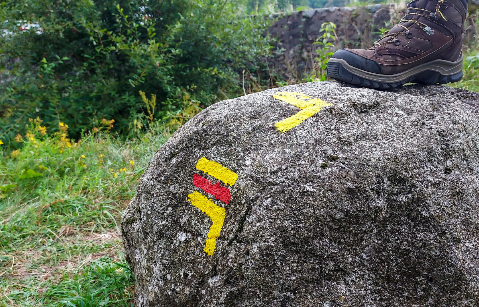
GRP Marche et Combraille en Aquitaine - Boucle coeur de Creuse
Walking, Cultural, Historical, Natural
in Chénérailles
100.2
km
Loop
on foot
Hard
- Departure
- Chénérailles
-
-
Difference in height
- 1777.51 m
-
-
-
Documentation
- GPX / KML files allow you to export the trail of your hike to your GPS (or other navigation tool)
-
- 1778 meters of difference in height
-
- Maximum altitude : 592 m
- Minimum altitude : 405 m
- Total positive elevation : 1778 m
- Total negative elevation : -1778 m
- Max positive elevation : 115 m
- Min positive elevation : -77 m