

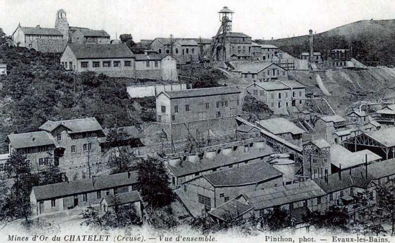
Le Châtelet : la cité des mines d'or
Walking, Cultural
in Budelière
1.6
km
Loop
on foot
Easy
- Departure
- Budelière
-
-
Difference in height
- 49.3333 m
-
-
-
Documentation
- GPX / KML files allow you to export the trail of your hike to your GPS (or other navigation tool)
-
- 49 meters of difference in height
-
- Maximum altitude : 400 m
- Minimum altitude : 345 m
- Total positive elevation : 49 m
- Total negative elevation : -43 m
- Max positive elevation : 49 m