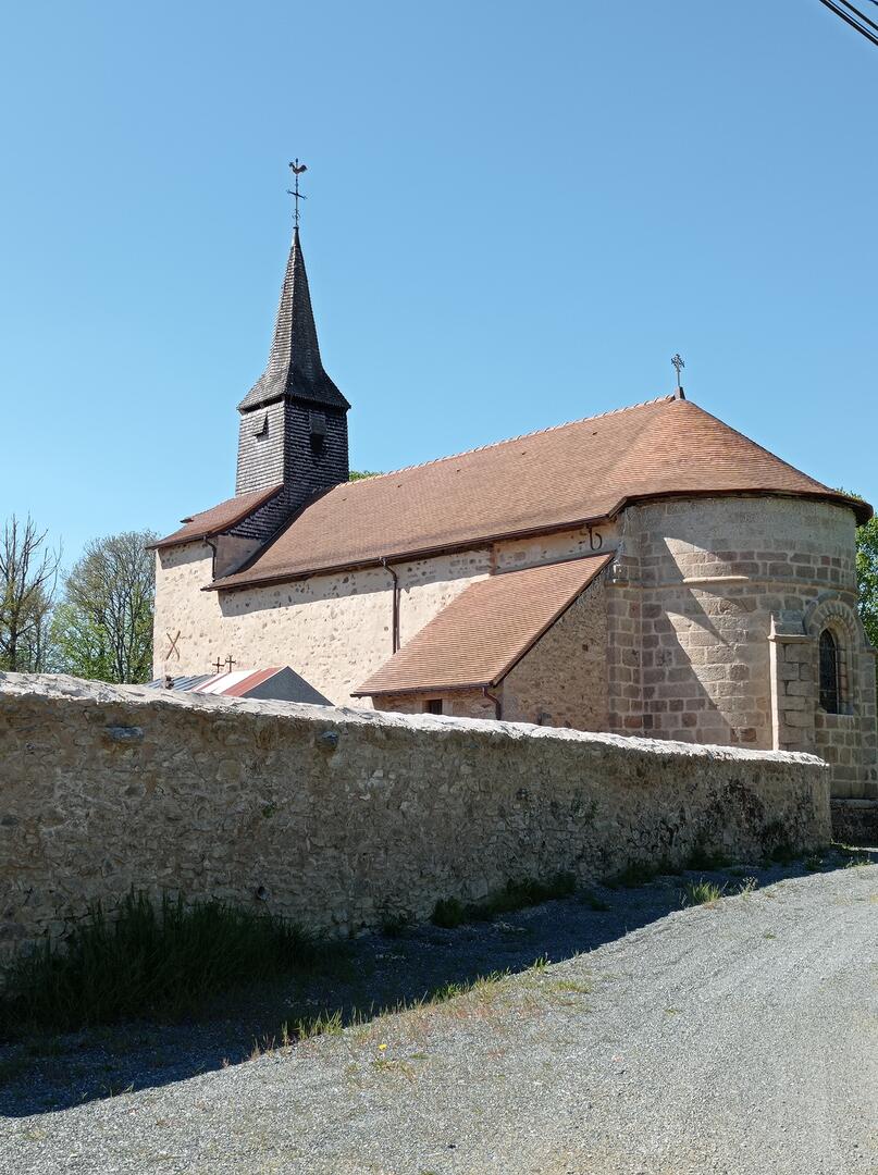
Le chemin de César


                    Walking, Cultural, Historical, Natural                    
                
                                                    in Parsac-rimondeix, Parsac
                            
            14.4
                        km
                    
                Loop
                on foot
                2h 50min
                Easy
                - Departure
 - Parsac
 
- 
    
- 
                                Difference in height
 - 105 m
 
 - 
                                
 - 
    
- 
                                Documentation
 - GPX / KML files allow you to export the trail of your hike to your GPS (or other navigation tool)
 
 - 
                                
 
- 105 meters of difference in height
 - 
                
- Maximum altitude : 423 m
 - Minimum altitude : 368 m
 
- Total positive elevation : 105 m
 - Total negative elevation : -105 m
 - Max positive elevation : 22 m
 - Min positive elevation : -37 m


                        