

Le moulin de farouille
Walking, Cultural, Natural
in Chambon-sur-Voueize
9.5
km
Loop
on foot
2h
Medium
-
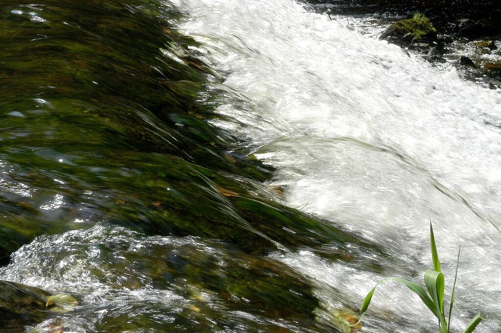
This circuit, which intersects the Tardes, takes you from village to village to discover the discreet charm of the old industrial heritage of the Creuse that are our mills. In Combraille, their impressive number shows that their role was essential in the rural economy of the past.
- Departure
- Chambon-sur-Voueize
-
-
Difference in height
- 156 m
-
-
-
Documentation
- GPX / KML files allow you to export the trail of your hike to your GPS (or other navigation tool)
-
- 156 meters of difference in height
-
- Maximum altitude : 432 m
- Minimum altitude : 334 m
- Total positive elevation : 156 m
- Total negative elevation : -156 m
- Max positive elevation : 86 m
- Min positive elevation : -94 m