

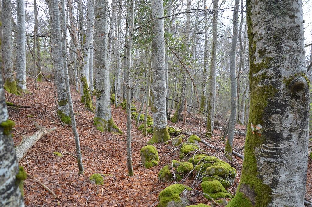
Chemin du Bois d'Amont
Walking, Mountain bike, Natural
in Flayat
5.7
km
Loop
on foot
1h 30min
Easy
- Departure
- Flayat
-
-
Difference in height
- 75.3333 m
-
-
-
Documentation
- GPX / KML files allow you to export the trail of your hike to your GPS (or other navigation tool)
-
- 75 meters of difference in height
-
- Maximum altitude : 792 m
- Minimum altitude : 743 m
- Total positive elevation : 75 m
- Total negative elevation : -76 m
- Max positive elevation : 33 m
- Min positive elevation : -32 m