

Circuit de randonnée : Chemin de l'étang d'Urbe
Walking, Mountain bike, Natural
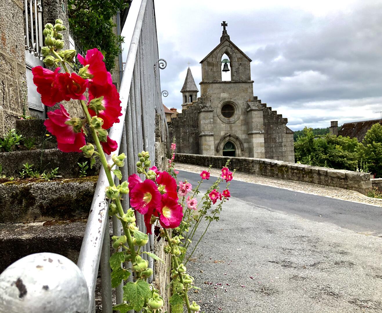
in Crocq
-
Start : Place Georges Hubert
Marking : Yellow
1 - Go down the main street towards La Courtine; turn right onto the road which passes the Gendarmerie.
2 - After the school, turn right towards Magnat l'Étrange; pass H.L.M. and take the track opposite; go up along the edge of the meadows and then into the woods.
3 - Continue to the next junction; follow the road slightly to the left between the meadows for about 250 m; fork left to the crossroads.
4 - Take the Naberon-Les Corrades road for 100...Start : Place Georges Hubert
Marking : Yellow
1 - Go down the main street towards La Courtine; turn right onto the road which passes the Gendarmerie.
2 - After the school, turn right towards Magnat l'Étrange; pass H.L.M. and take the track opposite; go up along the edge of the meadows and then into the woods.
3 - Continue to the next junction; follow the road slightly to the left between the meadows for about 250 m; fork left to the crossroads.
4 - Take the Naberon-Les Corrades road for 100 m, then the left-hand track; continue straight on
5 - Turn left onto the track leading down to the Urbe pond, then back up to the D 996 road
6 - Turn right and follow the D 996 for 250 m; on the left, take the track leading up to Puy Senimont
7 - Turn left onto the gravel path leading down to the entrance to Crocq.
- Departure
- Crocq
-
-
Difference in height
- 129.628 m
-
-
-
Documentation
-
- CROCQ - Chemin de l'étang d'Urbe
- CROCQ - Chemin de l'étang d'Urbe
- CROCQ - Chemin de l'étang d'Urbe
-
- 130 meters of difference in height
-
- Maximum altitude : 798 m
- Minimum altitude : 706 m
- Total positive elevation : 130 m
- Total negative elevation : -130 m
- Max positive elevation : 28 m
- Min positive elevation : -86 m