

Circuit de randonnée : Eaux vives et Patrimoine
Walking
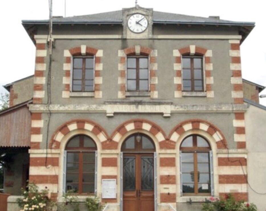
in Tercillat
-
This small rural commune is located in the north of the Creuse département, bordering the Indre. From Berry, you can discover the Marchois countryside and the foothills of the Massif Central.
In 1789, the territory of Tercillat was split in two with the creation of the commune of Viviers, until 1833.
- Departure
- Tercillat
-
-
Difference in height
- 137.667 m
-
-
-
Documentation
- GPX / KML files allow you to export the trail of your hike to your GPS (or other navigation tool)
-
- 138 meters of difference in height
-
- Maximum altitude : 413 m
- Minimum altitude : 340 m
- Total positive elevation : 138 m
- Total negative elevation : -138 m
- Max positive elevation : 30 m
- Min positive elevation : -38 m