

Circuit de randonnée : l'étang de Jarmenet
Walking, Natural
in Dontreix
9.8
km
Loop
on foot
3h
Medium
-
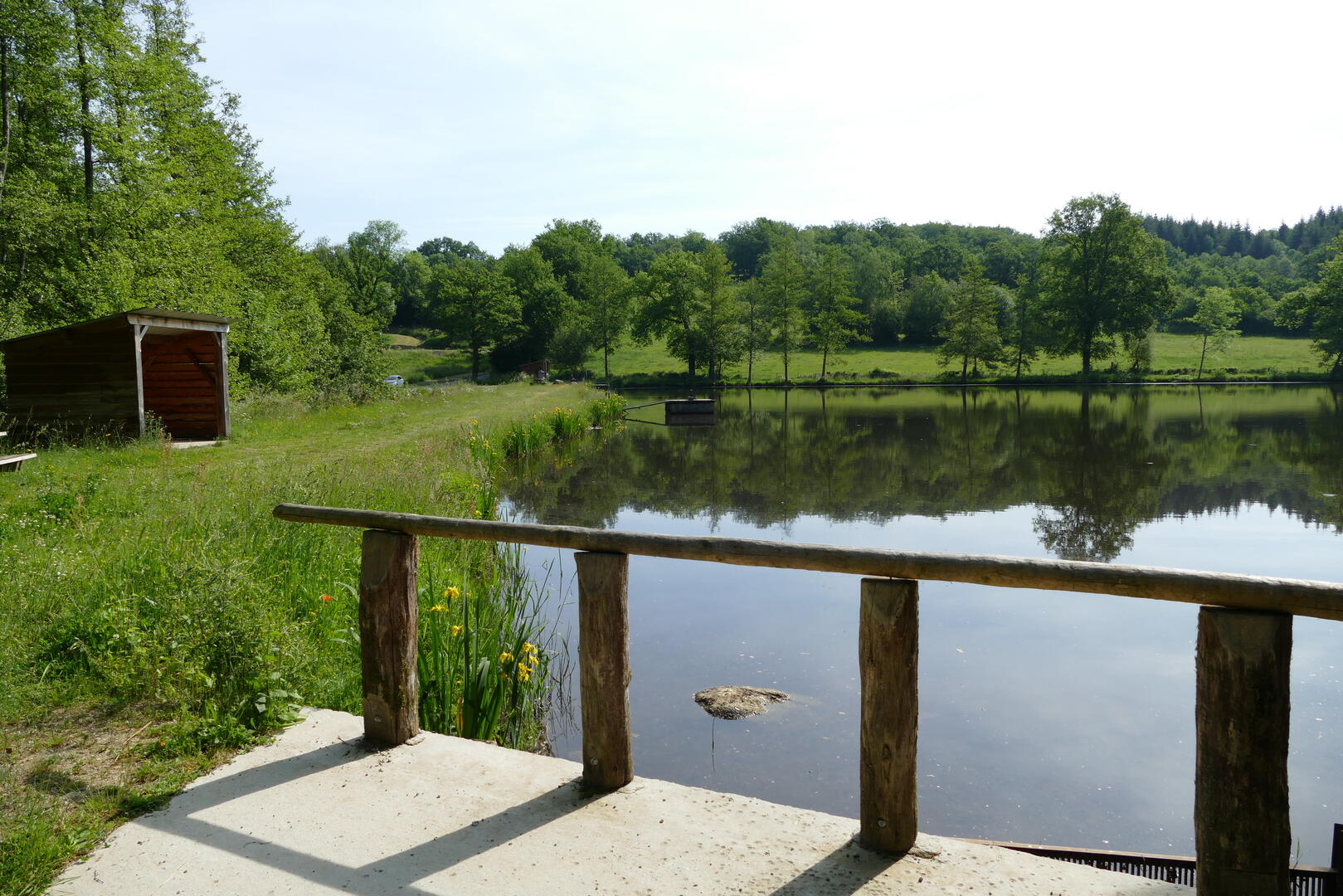
An educational trail runs all the way around the pond. Leaving the pond, after passing through a wood, you follow a small path lined with drystone walls, in the midst of nature once again in its wild state. All along the way, you can admire century-old oak and beech trees, as well as beautiful views over the Cher valley and Dontreix...
- Departure
- Dontreix
-
-
Difference in height
- 337 m
-
-
-
Documentation
- GPX / KML files allow you to export the trail of your hike to your GPS (or other navigation tool)
-
- 337 meters of difference in height
-
- Maximum altitude : 729 m
- Minimum altitude : 597 m
- Total positive elevation : 337 m
- Total negative elevation : -238 m
- Max positive elevation : 100 m
- Min positive elevation : -86 m