

Circuit de randonnée pédestre n° 10 Les cascades de la Rebeyrolle
Walking
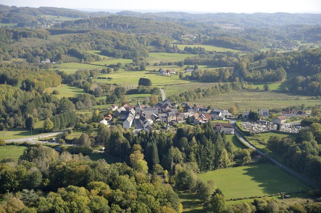
in La Chapelle-Taillefert
14.5
km
on foot
4h 30min
Hard
- Departure
- La Chapelle-Taillefert
-
-
Difference in height
- 403 m
-
-
-
Documentation
- GPX / KML files allow you to export the trail of your hike to your GPS (or other navigation tool)
-
- 403 meters of difference in height
-
- Maximum altitude : 630 m
- Minimum altitude : 459 m
- Total positive elevation : 403 m
- Total negative elevation : -403 m
- Max positive elevation : 80 m
- Min positive elevation : -108 m