

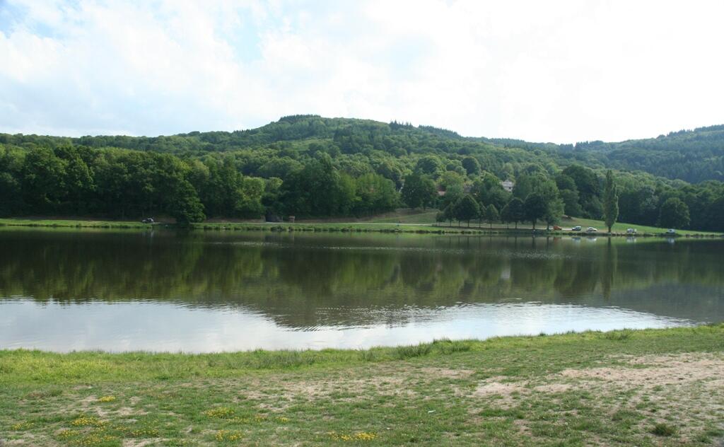
Circuit de randonnée pédestre n° 4 l'étang de la Vergne
Walking
in Bussière-Dunoise
12.0
km
on foot
3h
Easy
- Departure
- Bussière-Dunoise
-
-
Difference in height
- 162.667 m
-
-
-
Documentation
- GPX / KML files allow you to export the trail of your hike to your GPS (or other navigation tool)
-
- 163 meters of difference in height
-
- Maximum altitude : 449 m
- Minimum altitude : 354 m
- Total positive elevation : 163 m
- Total negative elevation : -163 m
- Max positive elevation : 45 m
- Min positive elevation : -69 m