

Circuit de randonnée pédestre n° 9 Le rocher de la femme perdue
Walking
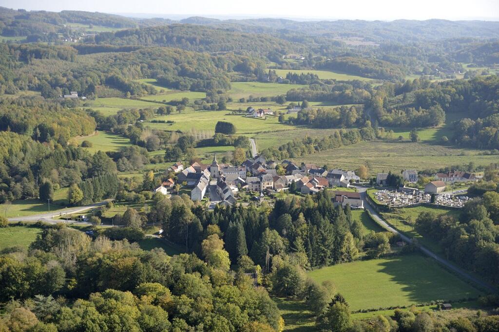
in La Chapelle-Taillefert
4.9
km
Loop
on foot
1h 30min
Easy
-
1- From the town hall of La Chapelle Taillefert, go away from the village by taking the small road towards Massebrot. Stay on the road and walk past Borderies.
2- When you arrive at Massebrot, take the track on the right. At the first intersection, go to the right. Walk past the Patural (possibility to reach the rock of the lost woman) and stay on the narrow road to go down to the village of Montmallet.
3- When you reach the village, take the first track on the left, then the first one on...1- From the town hall of La Chapelle Taillefert, go away from the village by taking the small road towards Massebrot. Stay on the road and walk past Borderies.
2- When you arrive at Massebrot, take the track on the right. At the first intersection, go to the right. Walk past the Patural (possibility to reach the rock of the lost woman) and stay on the narrow road to go down to the village of Montmallet.
3- When you reach the village, take the first track on the left, then the first one on the right to go down to Chier.
4- After the village, turn to the right to go down to La Chapelle-Taillefert. At the main crossing, turn to the right to come back in front of the city hall.
- Departure
- La Chapelle-Taillefert
-
-
Difference in height
- 130 m
-
-
-
Documentation
- GPX / KML files allow you to export the trail of your hike to your GPS (or other navigation tool)
-
- 130 meters of difference in height
-
- Maximum altitude : 587 m
- Minimum altitude : 486 m
- Total positive elevation : 130 m
- Total negative elevation : -130 m
- Max positive elevation : 71 m
- Min positive elevation : -77 m