

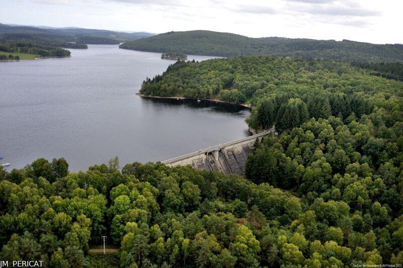
Circuit des Deux Digues
Walking
in Royère-de-Vassivière
7.0
km
Loop
on foot
2h 30min
Easy
- 176 meters of difference in height
-
- Maximum altitude : 713 m
- Minimum altitude : 629 m
- Total positive elevation : 176 m
- Total negative elevation : -176 m
- Max positive elevation : 48 m
- Min positive elevation : -46 m