

Circuit du bas berry
Mountain bike, Natural
in Boussac
39.6
km
Loop
by mountain bike
4h
Hard
-
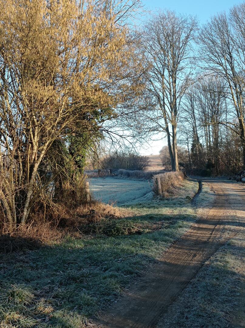
A mix of phone and wild flora, only a few turns of the wheel from Boussac. This trail is sure to challenge your pedal strokes, with a cumulative vertical drop of 332 m and a total of 40 km of riding.
- Departure
- Boussac
-
-
Difference in height
- 580.259 m
-
-
-
Documentation
- GPX / KML files allow you to export the trail of your hike to your GPS (or other navigation tool)
-
- 580 meters of difference in height
-
- Maximum altitude : 500 m
- Minimum altitude : 350 m
- Total positive elevation : 580 m
- Total negative elevation : -580 m
- Max positive elevation : 52 m
- Min positive elevation : -72 m