

Circuit pédestre A travers bois et sentiers CH3
Walking, Natural
in Chéniers
7.2
km
on foot
1h 50min
Easy
-
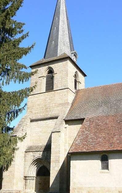
Departure from place de l'église in Chéniers

- 111 meters of difference in height
-
- Maximum altitude : 344 m
- Minimum altitude : 259 m
- Total positive elevation : 111 m
- Total negative elevation : -111 m
- Max positive elevation : 46 m
- Min positive elevation : -50 m