

Circuit pédestre Du taillis au termes CO2
Walking, Natural
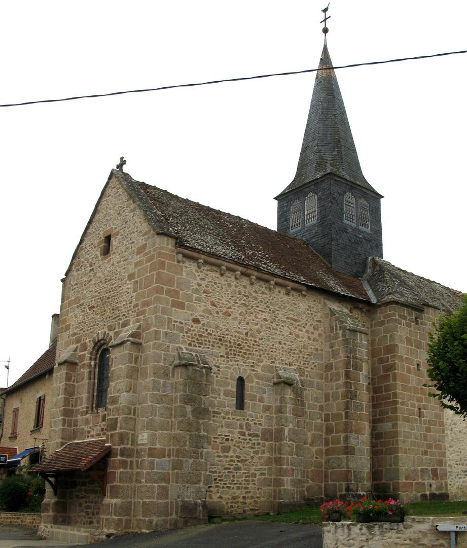
in Colondannes
4.3
km
Loop
on foot
1h 10min
Easy
-
This circuit of just over 4 km is ideal for a short stroll and for families with young children.
The flat route is accessible to baby carriages, and there is a small heritage trail to observe.
Departure point: parking place du 19 mars 1962, Colondannes.
- Departure
- Colondannes
-
-
Difference in height
- 66.3333 m
-
-
-
-
-
Documentation
-
- FICHE COLONDANNES CO1 CO2.pdf_1
- Circuit pédestre Du taillis au termes CO2
- Circuit pédestre Du taillis au termes CO2
-

- 66 meters of difference in height
-
- Maximum altitude : 368 m
- Minimum altitude : 315 m
- Total positive elevation : 66 m
- Total negative elevation : -66 m
- Max positive elevation : 27 m
- Min positive elevation : -34 m