

Circuit pédestre "Fonteny"
Walking
in Nouziers
8.0
km
on foot
2h
Easy
-
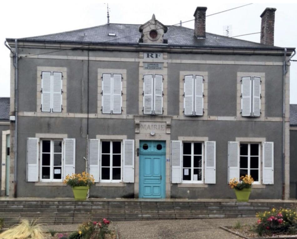
A pleasant commune located in the north of the Creuse département and bordering the Indre département, it is also situated in the "first foothills" of the Massif Central, offering a verdant, undulating, wooded landscape. The paths are still lined with "bouchures", which provide pleasant protection from the heat and inclement weather. However, all that remains are a few walnut trees, which seem to have given their name to the commune (Nouziers is derived from the Latin "nucarium" meaning...
A pleasant commune located in the north of the Creuse département and bordering the Indre département, it is also situated in the "first foothills" of the Massif Central, offering a verdant, undulating, wooded landscape. The paths are still lined with "bouchures", which provide pleasant protection from the heat and inclement weather. However, all that remains are a few walnut trees, which seem to have given their name to the commune (Nouziers is derived from the Latin "nucarium" meaning walnut). Nouziers is a dynamic commune, with a lively community life and events that attract many visitors every year, such as the 24-hour Solex race on Pentecost and the Christmas market held on the last Sunday before Christmas.
- Departure
- Nouziers
-
-
Difference in height
- 96.6667 m
-
-
-
Documentation
- GPX / KML files allow you to export the trail of your hike to your GPS (or other navigation tool)
-
- 97 meters of difference in height
-
- Maximum altitude : 476 m
- Minimum altitude : 409 m
- Total positive elevation : 97 m
- Total negative elevation : -97 m
- Max positive elevation : 51 m
- Min positive elevation : -34 m