

Circuit pédestre : Le Belvédère
Walking
in Bonnat
13.1
km
Loop
on foot
2h 30min
Medium
-
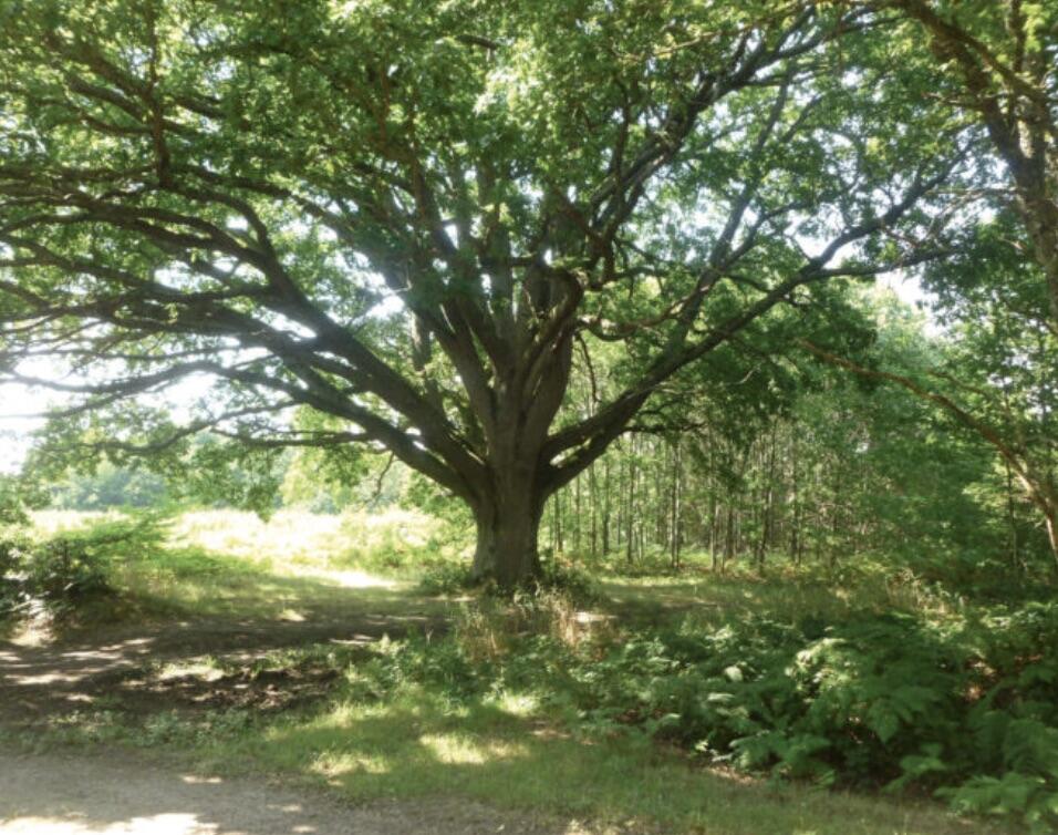
The commune's natural environment offers preserved spaces: forests, rivers, streams, paths and varied landscapes are a delight for nature lovers.
- Departure
- Bonnat
-
-
Difference in height
- 201.667 m
-
-
-
Documentation
- GPX / KML files allow you to export the trail of your hike to your GPS (or other navigation tool)
-
- 202 meters of difference in height
-
- Maximum altitude : 397 m
- Minimum altitude : 279 m
- Total positive elevation : 202 m
- Total negative elevation : -202 m
- Max positive elevation : 112 m
- Min positive elevation : -38 m