

Circuit pédestre : Les Bois
Walking
in Roches
18.3
km
Loop
on foot
4h 30min
Medium
-
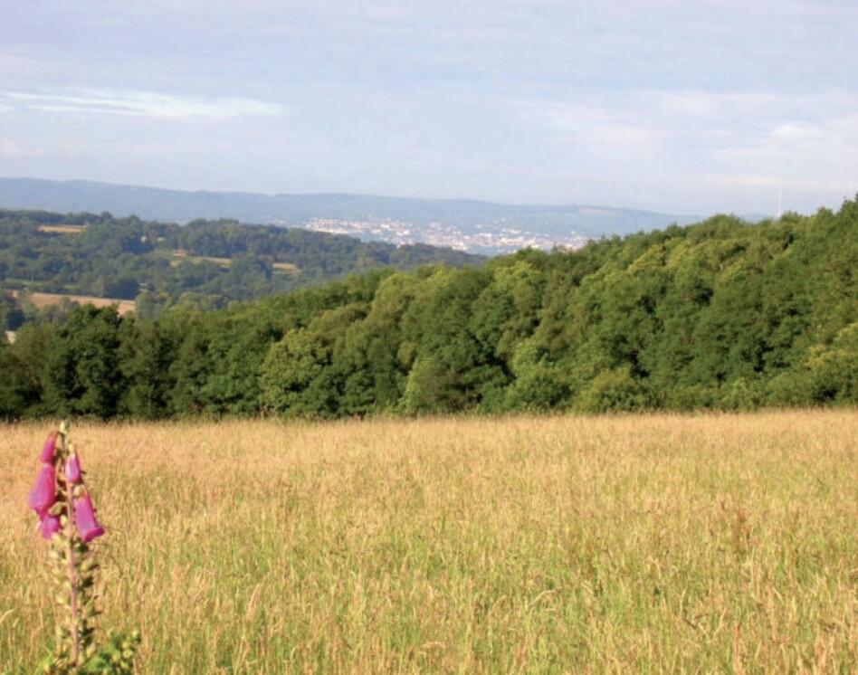
Roches is a commune of character, marked by its important religious heritage. Located just a few hundred meters from the village, the remarkable site of La Péricholle is a distinctive feature of the commune. Here, you'll find the statue of the Virgin Mary on a rocky outcrop, known as the Pierre aux Fées, a small chapel called Notre-Dame de l'Espérance, and a remarkable panorama over the Petite Creuse valley and the Berry region.
- Departure
- Roches
-
-
Difference in height
- 381.333 m
-
-
-
Documentation
- GPX / KML files allow you to export the trail of your hike to your GPS (or other navigation tool)
-
- 381 meters of difference in height
-
- Maximum altitude : 555 m
- Minimum altitude : 436 m
- Total positive elevation : 381 m
- Total negative elevation : -381 m
- Max positive elevation : 100 m
- Min positive elevation : -80 m