

Circuit Pédestre N°48 : "A travers la Perrière"
Walking, Natural
in Bourganeuf
- Departure
- Bourganeuf
-
-
Difference in height
- 228.333 m
-
-
-
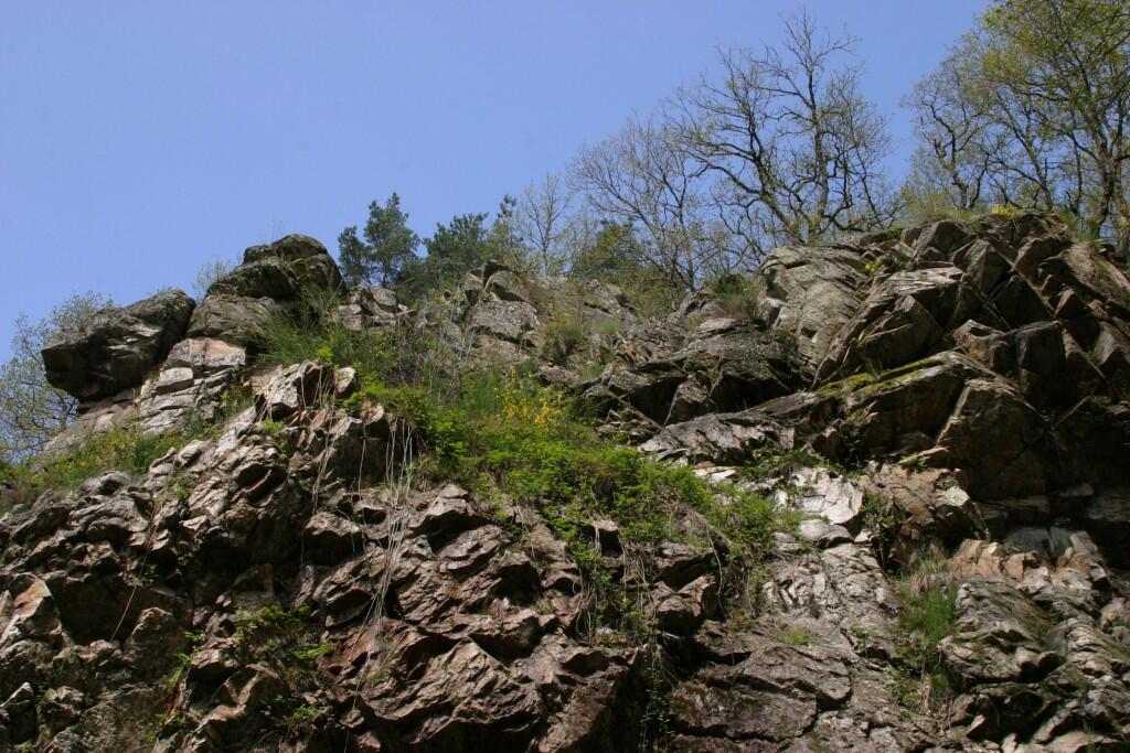
Environment
-
-
-
-
-
Documentation
- GPX / KML files allow you to export the trail of your hike to your GPS (or other navigation tool)
-

- 228 meters of difference in height
-
- Maximum altitude : 607 m
- Minimum altitude : 443 m
- Total positive elevation : 228 m
- Total negative elevation : -228 m
- Max positive elevation : 69 m
- Min positive elevation : -104 m