

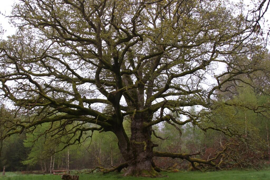
Circuit Pédestre n°A3/A4 Du puy du Rio au gros chêne
Walking
in Arrènes
13.5
km
Loop
on foot
3h 15min
Medium
- Departure
- Arrènes
-
-
Difference in height
- 332.762 m
-
-
-
Documentation
- GPX / KML files allow you to export the trail of your hike to your GPS (or other navigation tool)
-
- 333 meters of difference in height
-
- Maximum altitude : 609 m
- Minimum altitude : 360 m
- Total positive elevation : 333 m
- Total negative elevation : -333 m
- Max positive elevation : 158 m
- Min positive elevation : -140 m
