

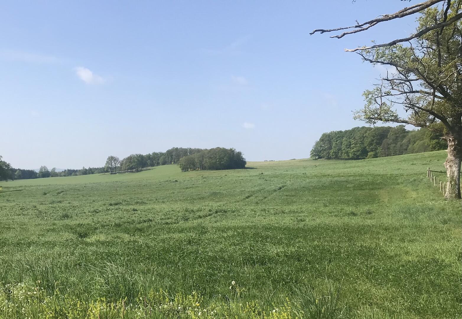
Circuit pédestre n°AU2 Les Rocailleurs
Walking
in Augères
6.1
km
Loop
on foot
2h
Easy
- Departure
- Augères
-
-
Difference in height
- 124 m
-
-
-
Documentation
- GPX / KML files allow you to export the trail of your hike to your GPS (or other navigation tool)
-
- 124 meters of difference in height
-
- Maximum altitude : 514 m
- Minimum altitude : 432 m
- Total positive elevation : 124 m
- Total negative elevation : -124 m
- Max positive elevation : 49 m
- Min positive elevation : -77 m
