

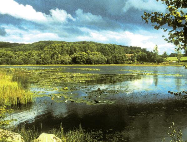
Circuit Pédestre N°B1 Le dolmen des granges
Walking, Natural
in Bénévent-l'Abbaye
5.9
km
Loop
on foot
1h 20min
Medium
- Departure
- Bénévent-l'Abbaye
-
-
Difference in height
- 144.333 m
-
-
-
-
-
Documentation
- GPX / KML files allow you to export the trail of your hike to your GPS (or other navigation tool)
-

- 144 meters of difference in height
-
- Maximum altitude : 536 m
- Minimum altitude : 429 m
- Total positive elevation : 144 m
- Total negative elevation : -144 m
- Max positive elevation : 57 m
- Min positive elevation : -70 m
