

Circuit Trail n°1 : La vergnolle
Trail-running
in Guéret
6.3
km
Loop
Running
1h
Easy
-
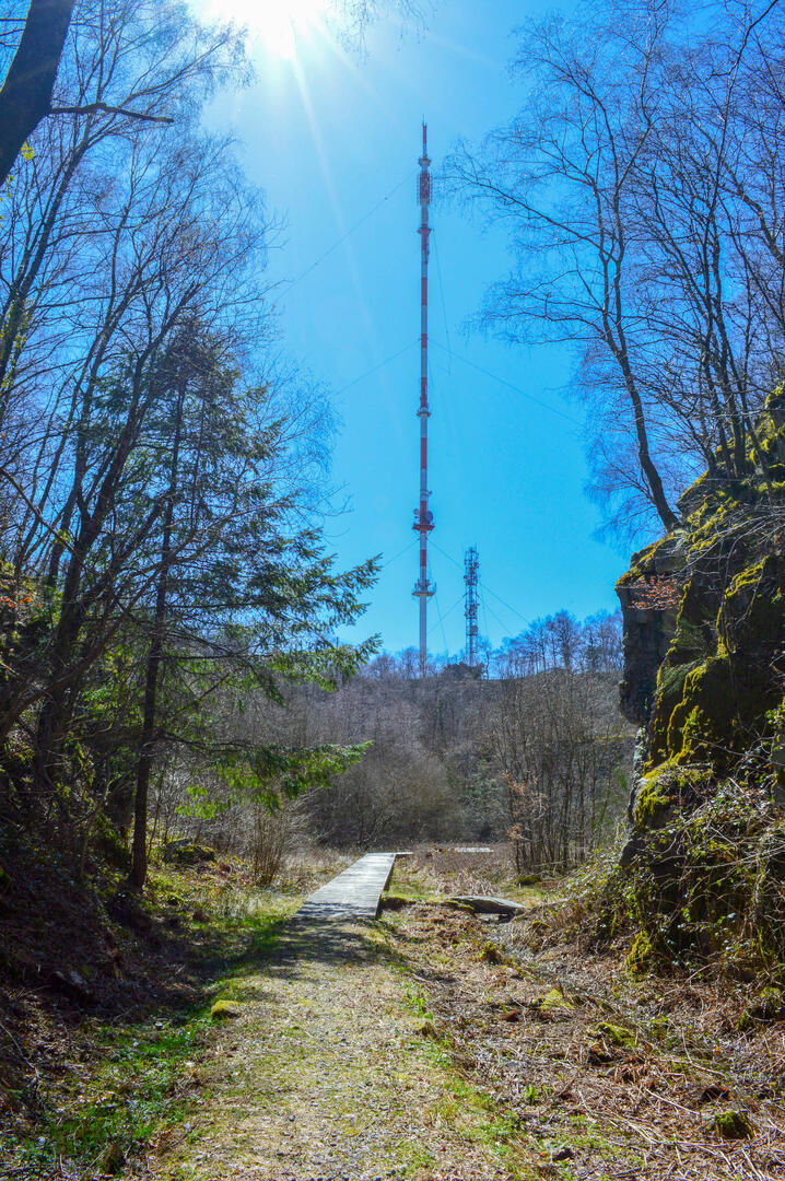
Departing from the Refuge du Maupuy, you'll skirt around the Carrière de la Baleine on narrow paths before descending along the Carrière de la Vergnolle, from which the finest granite was extracted. Then wide rolling trails lead off, before branching off to the right along the old waggon wall, once used to transport shaped cobblestones to the station below. The end of the trail climbs slightly, alternating between wide tracks and narrow paths.
- Departure
- Guéret
-
-
Difference in height
- 124 m
-
-
-
Documentation
- GPX / KML files allow you to export the trail of your hike to your GPS (or other navigation tool)
-
- 124 meters of difference in height
-
- Maximum altitude : 686 m
- Minimum altitude : 595 m
- Total positive elevation : 124 m
- Total negative elevation : -124 m
- Max positive elevation : 39 m
- Min positive elevation : -51 m