

Circuit Trail n°4 : Le puy du Chiroux
Trail-running
in Guéret
7.8
km
Loop
Running
1h
Very easy
-
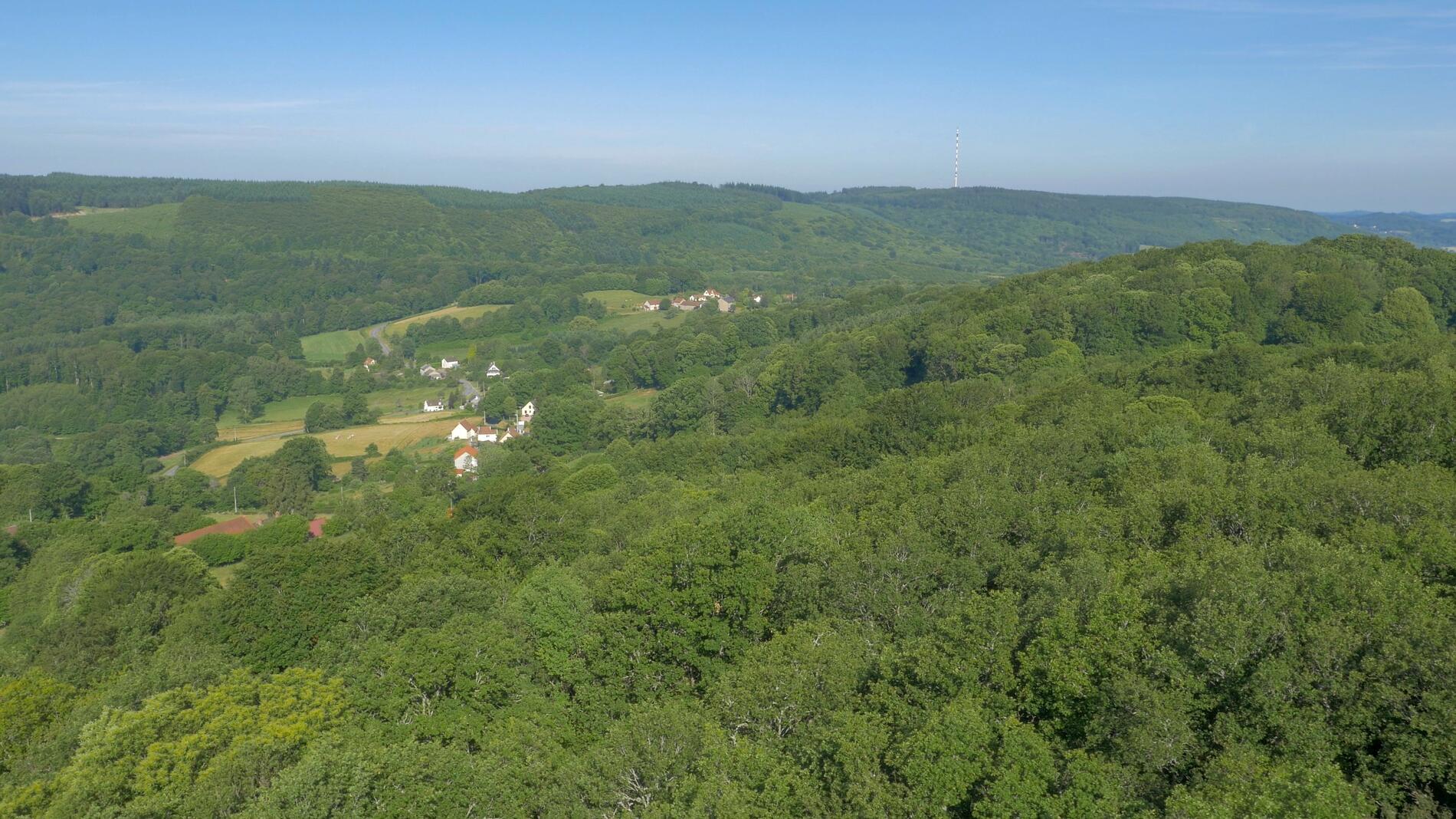
From the Pierre la Grosle parking lot, the path rises slightly for 600m before forking right...into a small sunken lane. After overhanging the D940, you turn left to join the Canton des Tours trails, at the foot of which nestles the Giant Labyrinth. After a very short stretch on the D76, you enter the Chabrières arboretum. Covering more than 4 hectares, the site, equipped with descriptive plaques, has been home to 126 species of trees since 1994. Then it's on to the summit of Puy de Chiroux,...
From the Pierre la Grosle parking lot, the path rises slightly for 600m before forking right...into a small sunken lane. After overhanging the D940, you turn left to join the Canton des Tours trails, at the foot of which nestles the Giant Labyrinth. After a very short stretch on the D76, you enter the Chabrières arboretum. Covering more than 4 hectares, the site, equipped with descriptive plaques, has been home to 126 species of trees since 1994. Then it's on to the summit of Puy de Chiroux, the highest point in the Monts de Guéret at 689m. From here, you will quickly lose 100m of altitude as you thread your way through fir trees, roots and rocks. All that's left to do is climb back up the wooded path to your starting point.
- Departure
- Guéret
-
-
Difference in height
- 211.667 m
-
-
-
Documentation
- GPX / KML files allow you to export the trail of your hike to your GPS (or other navigation tool)
-
- 212 meters of difference in height
-
- Maximum altitude : 695 m
- Minimum altitude : 608 m
- Total positive elevation : 212 m
- Total negative elevation : -212 m
- Max positive elevation : 62 m
- Min positive elevation : -85 m