

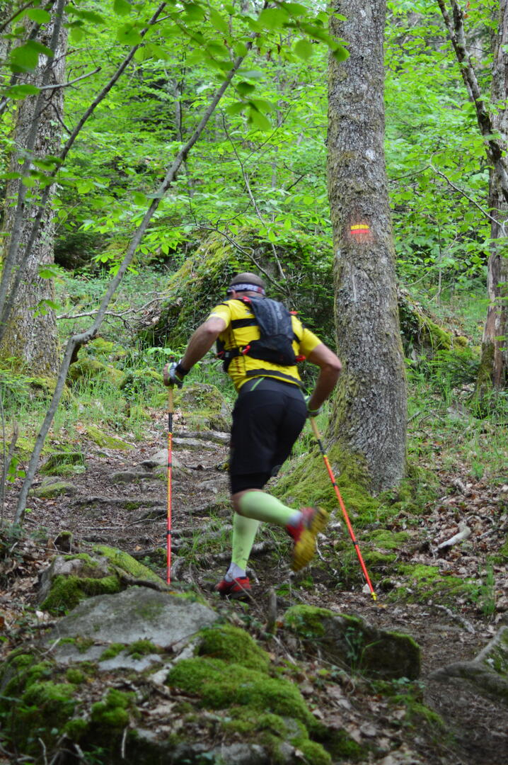
Circuit Trail n°7 : les bois de Sainte Feyre
Trail-running
in Sainte-Feyre
17.4
km
Loop
Running
2h 30min
Medium
- Departure
- Sainte-Feyre
-
-
Difference in height
- 546.401 m
-
-
-
Documentation
- GPX / KML files allow you to export the trail of your hike to your GPS (or other navigation tool)
-
- 546 meters of difference in height
-
- Maximum altitude : 676 m
- Minimum altitude : 477 m
- Total positive elevation : 546 m
- Total negative elevation : -546 m
- Max positive elevation : 167 m
- Min positive elevation : -151 m