

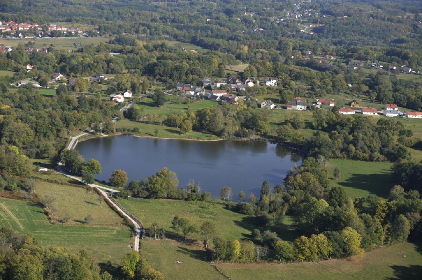
Circuit VTT n°12 Meyrat
Mountain bike
in Sainte-Feyre
14.6
km
Loop
by mountain bike
1h
Easy
- Departure
- Sainte-Feyre
-
-
Difference in height
- 339 m
-
-
-
-
-
Documentation
- GPX / KML files allow you to export the trail of your hike to your GPS (or other navigation tool)
-

- 339 meters of difference in height
-
- Maximum altitude : 576 m
- Minimum altitude : 397 m
- Total positive elevation : 339 m
- Total negative elevation : -339 m
- Max positive elevation : 109 m
- Min positive elevation : -78 m