

Circuit VTT n°24 Pierres et légendes
Mountain bike
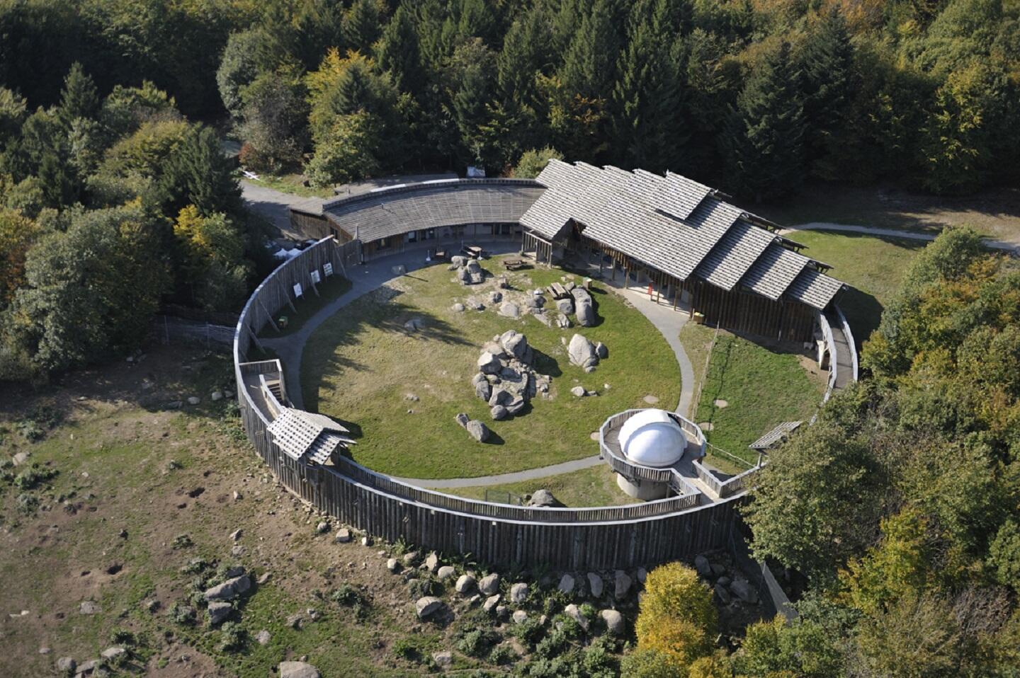
in Sainte-Feyre
8.8
km
Loop
by mountain bike
1h
Very easy
- Departure
- Sainte-Feyre
-
-
Difference in height
- 251.667 m
-
-
-
Documentation
- GPX / KML files allow you to export the trail of your hike to your GPS (or other navigation tool)
-
- 252 meters of difference in height
-
- Maximum altitude : 671 m
- Minimum altitude : 589 m
- Total positive elevation : 252 m
- Total negative elevation : -252 m
- Max positive elevation : 63 m
- Min positive elevation : -58 m