

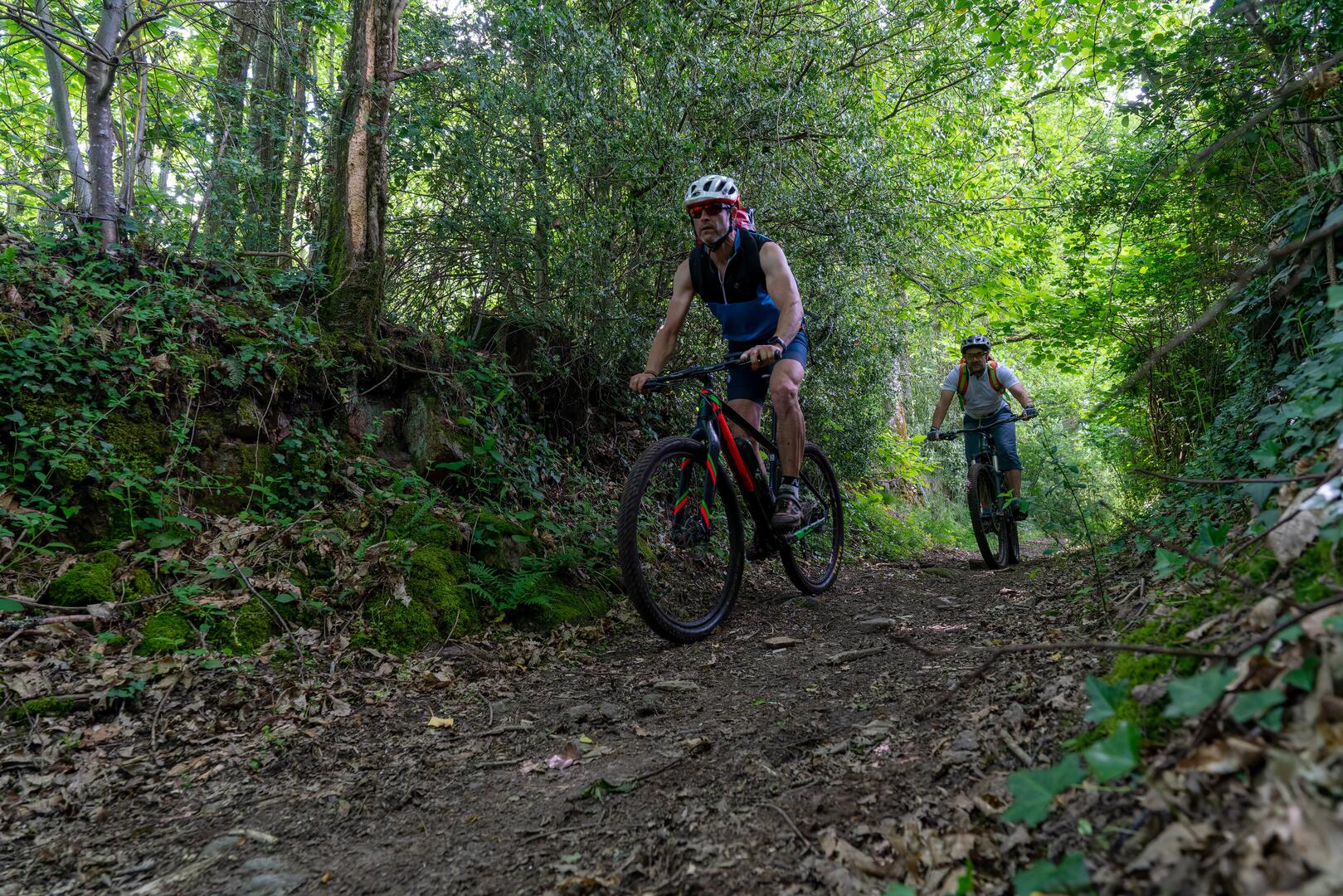
Circuit VTT n°25 - Périple autour de la Chaume
Mountain bike
in Azerables
-
A bumpy, hollowed-out route that requires a bit of stamina. From the Etang de la Chaume, the route wanders through the Creuse bocage on rolling tracks and paths. The highlight is the 2 km downhill stretch on the Chemin du Marchat.
- 531 meters of difference in height
-
- Maximum altitude : 411 m
- Minimum altitude : 278 m
- Total positive elevation : 531 m
- Total negative elevation : -531 m
- Max positive elevation : 70 m
- Min positive elevation : -60 m