

Circuit VTT n°30
Mountain bike, Natural
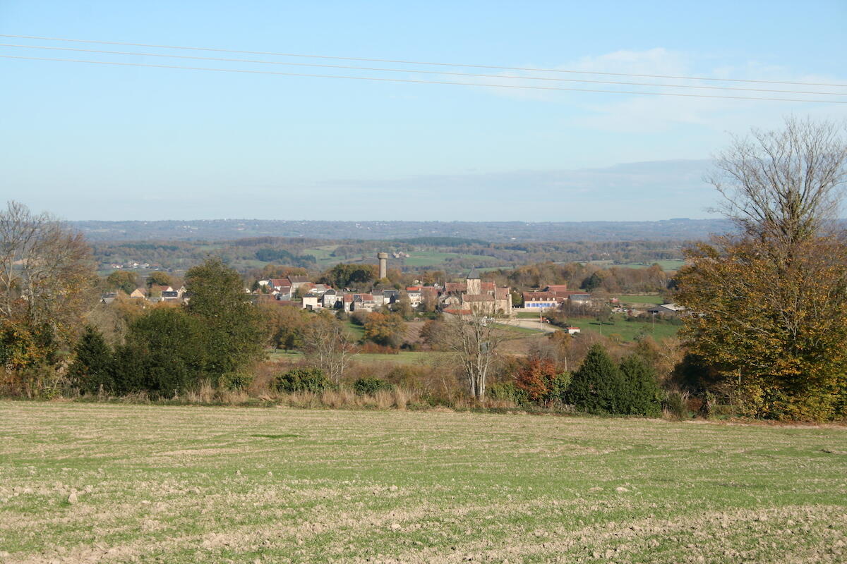
in Dun-le-Palestel
26.1
km
Loop
by mountain bike
2h
Medium
-
Departure from Place du champ de foire, Dun le Palestel. Possible departure from Auberge parking lot behind the church. This is a combination of circuits 28 and 29. Very picturesque and "technical mountain biking", it remains difficult to access for the untrained rider. Don't forget to bring supplies.
- Departure
- Dun-le-Palestel
-
-
Difference in height
- 573 m
-
-
-
Documentation
- GPX / KML files allow you to export the trail of your hike to your GPS (or other navigation tool)
-
- 573 meters of difference in height
-
- Maximum altitude : 554 m
- Minimum altitude : 313 m
- Total positive elevation : 573 m
- Total negative elevation : -574 m
- Max positive elevation : 159 m
- Min positive elevation : -129 m